§ Sector — Transport
Smart signage for accessible public transport
NaviLens improves accessibility in stations, stops, platforms and vehicles with smart wayfinding and instant, contextual, reliable passenger information.
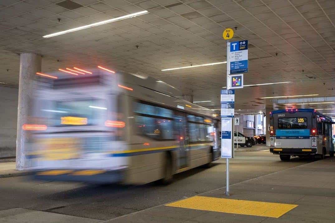
- 30+
- Transport agencies
- 42
- Languages with audio output
- 30 m
- Detection distance
- 160°
- Code capture angle
§ Why NaviLens in transit
Accessible signage in stations, stops and vehicles
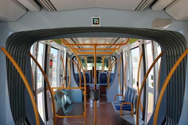
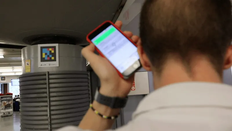
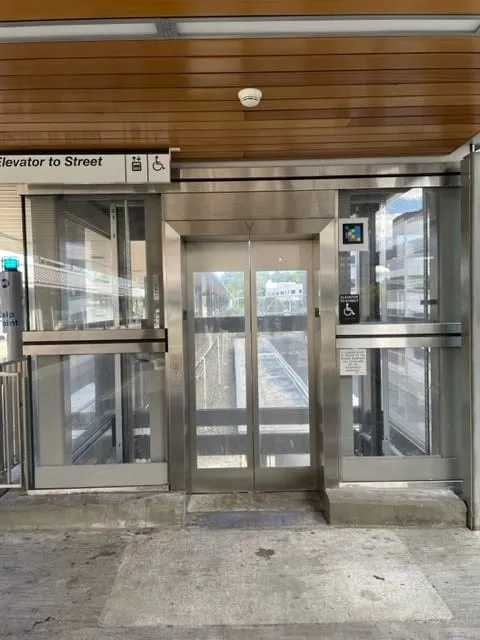
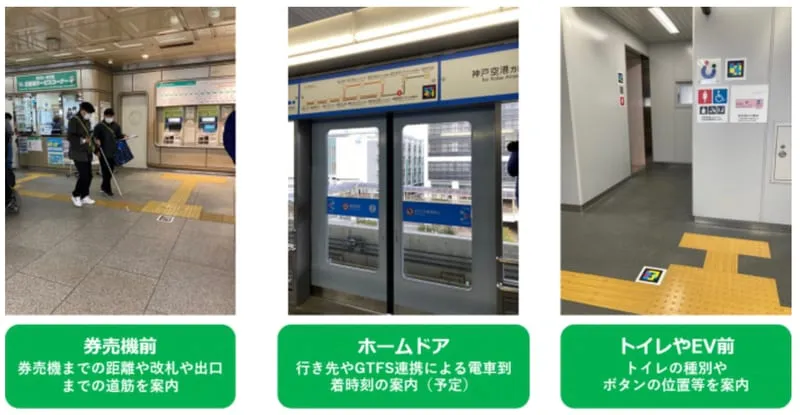
NaviLens adds an accessible wayfinding and digital information layer across stations, stops, platforms and vehicles, supporting independent navigation and real-time access to passenger information.
- 01
Independent wayfinding
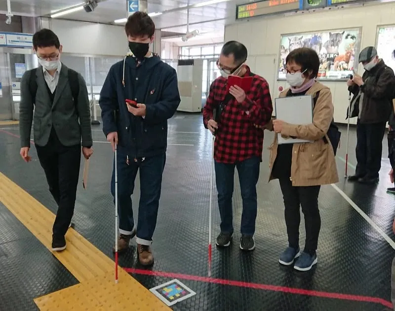
Riders move on their own through unfamiliar, changing or hard-to-read environments. Accessible, multilingual info that improves the experience for locals and visitors alike.
- 02
Works where complexity peaks
Contextual information exactly where riders need it most – stations, stops, intermodal hubs – so the network feels easier to navigate.
- 03
Useful tech, easy to run
An accessibility layer that adapts to each network. Managed from a simple platform built for accessibility and customer-experience teams.
§ How we roll it out
Roll-out phases of an accessible wayfinding system
A clear process, no surprises, designed for accessibility, operations and IT teams. Pilot live in 4–6 weeks.
- 01
Discovery
We map your network with you, the critical accessibility gaps and the KPIs you want to move.
1–2 weeks
- 02
Pilot
We deploy on a single line, station or fleet, with staff training and usage metrics from day one.
2–4 weeks
- 03
Rollout
We support the operator as they extend the rollout to the rest of the network in phases, integrated with their rider-information systems.
By phases
- 04
Measure & iterate
Usage, accessibility and impact reporting. We iterate with you so value compounds over time.
Ongoing
§ Featured story
Network Rail · GoMedia
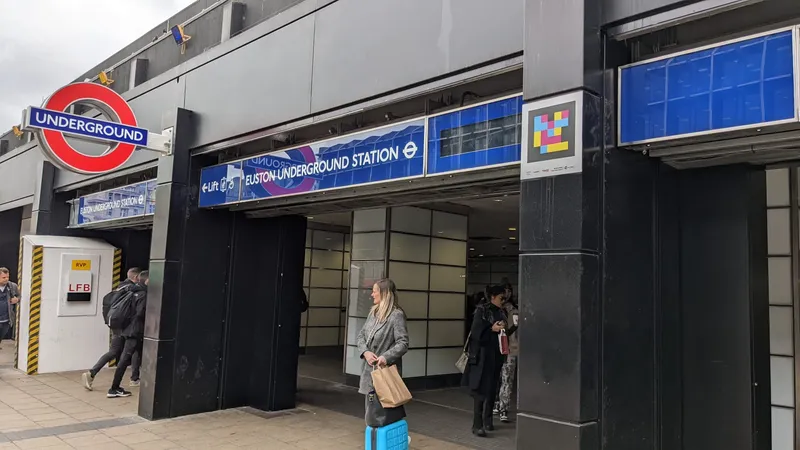
How we did it: NaviLens at London Euston.
Network Rail and GoMedia chose NaviLens as the detection layer for Visor, their accessible wayfinding service: codes from the Underground entrance to all 18 platforms that read out live departures and station facilities. The pilot won two SPOTLIGHT Rail Awards in 2023.
View case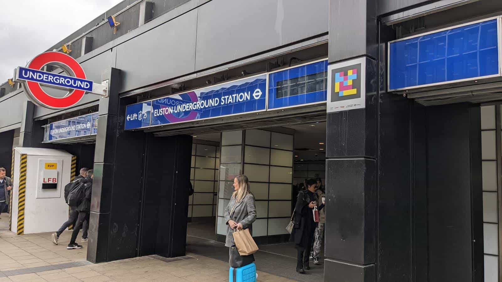
§ In their own words — Transport
What agencies running NaviLens are saying.
- New YorkOriginal quote in English
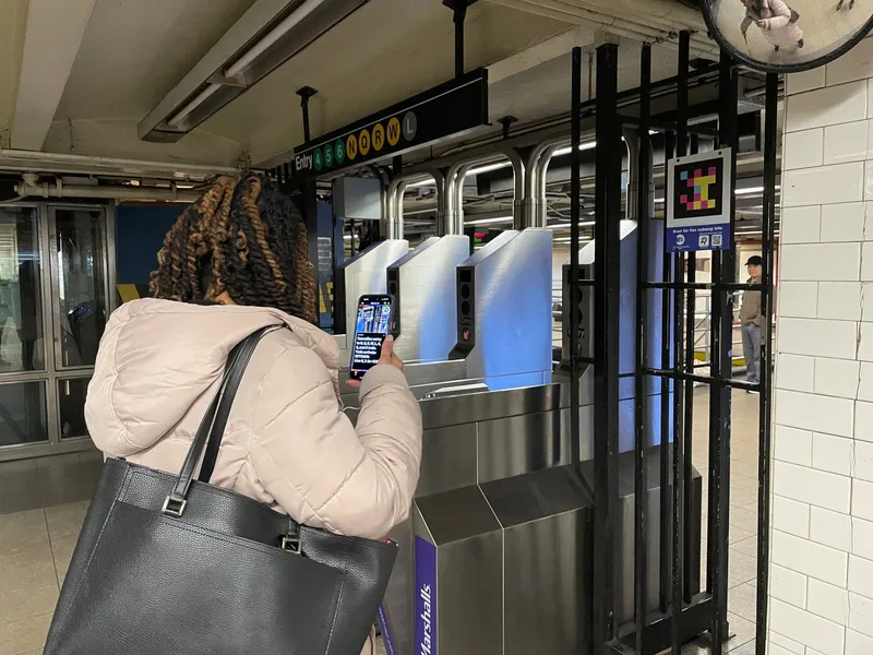
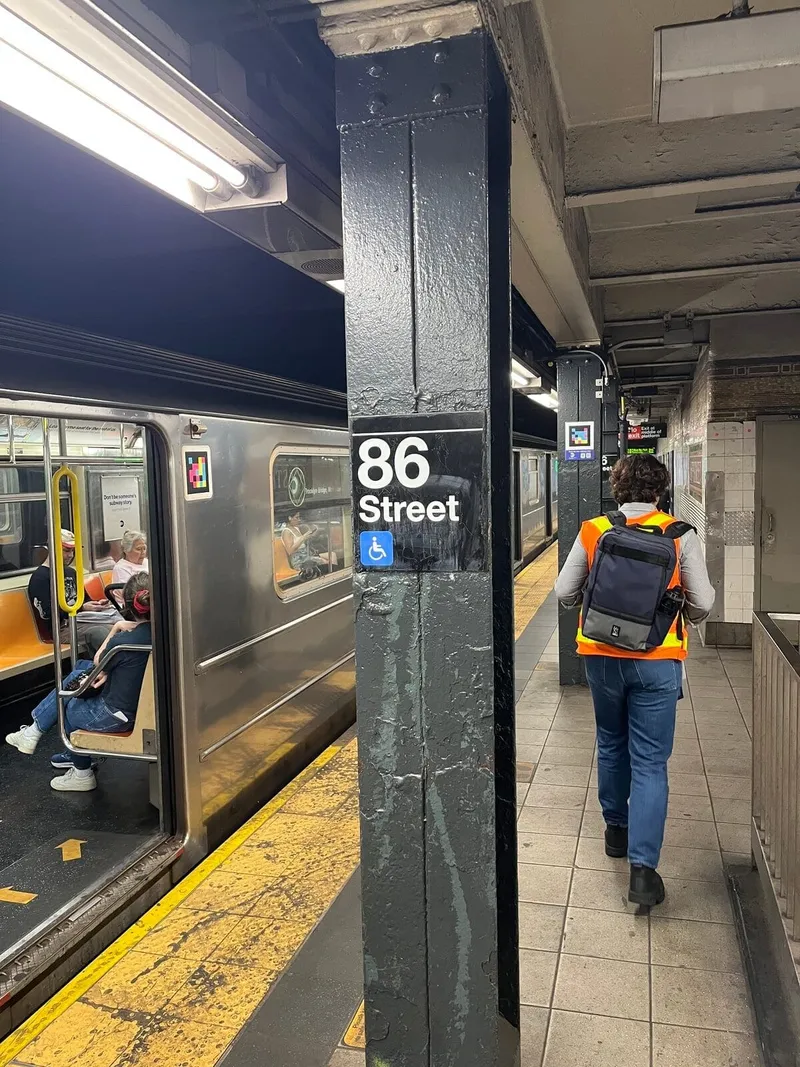
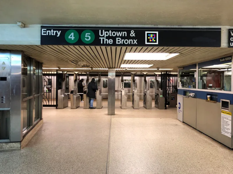
It's really encouraging to not only see so many customers test the features as they travel through the station but to ask questions and provide comments as well. We welcome the honest feedback and look forward to receiving results that will help us determine what features to incorporate into future accessibility projects.
Alex Elegudin
Senior Advisor for Systemwide Accessibility · NYC Transit
- AmsterdamOriginal quote in Dutch
We zijn met ProRail gaan praten over een proef op Amsterdam Centraal. Bij de verbouwing van het station heeft ProRail de verplichting op zich genomen om blinden en slechtzienden te informeren over de steeds veranderende situatie. Vorig jaar zijn we met de installatie van NaviLens begonnen.
Hans Peter Herwig
Head of Operations · PBTconsult
- BrusselsOriginal quote in French
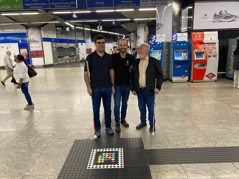
C'est une grande première en festival. Pour des personnes comme moi, qui voient très flou, ces codes NaviLens placés au sol changent tout : on peut s'orienter de manière autonome, sans devoir demander à chaque fois où est l'entrée, la scène ou les toilettes. C'est un véritable signal d'inclusion.
Eléonor Sana
Eqla · Belgian association for people with sight loss
§ Success stories
Transport networks already running NaviLens
Each card is a transport, bus or rail network where NaviLens already guides riders on their daily trips. Open one to see how we did it.
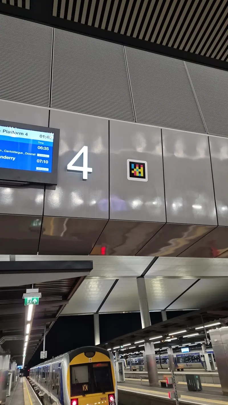 BelfastStation→
Translink Belfast Grand Central
Belfast
 LondonStation→
London Euston Station — Network Rail · GoMedia (Visor)
London
 WolverhamptonBus→
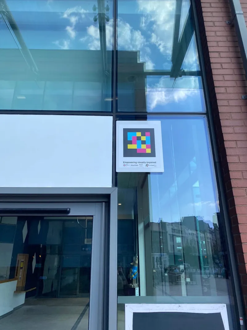
Wolverhampton Bus Station — TfWM, Journeo and RNIB make the station one of the most accessible hubs in the United Kingdom
Wolverhampton
 AlicanteBus→
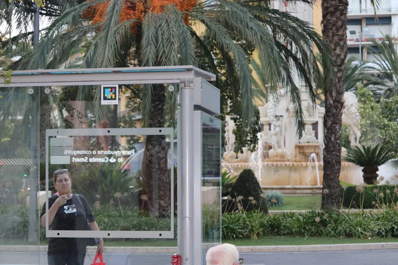
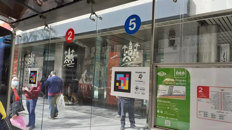
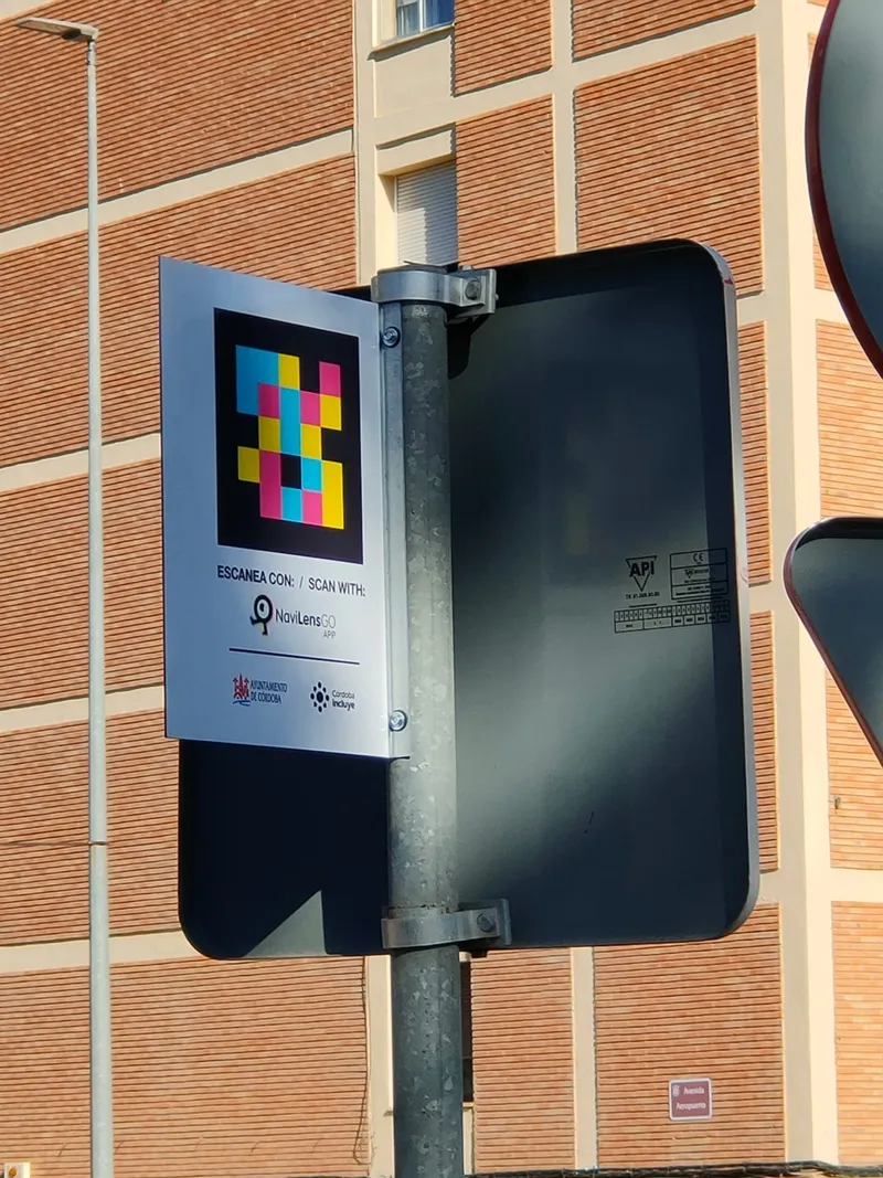
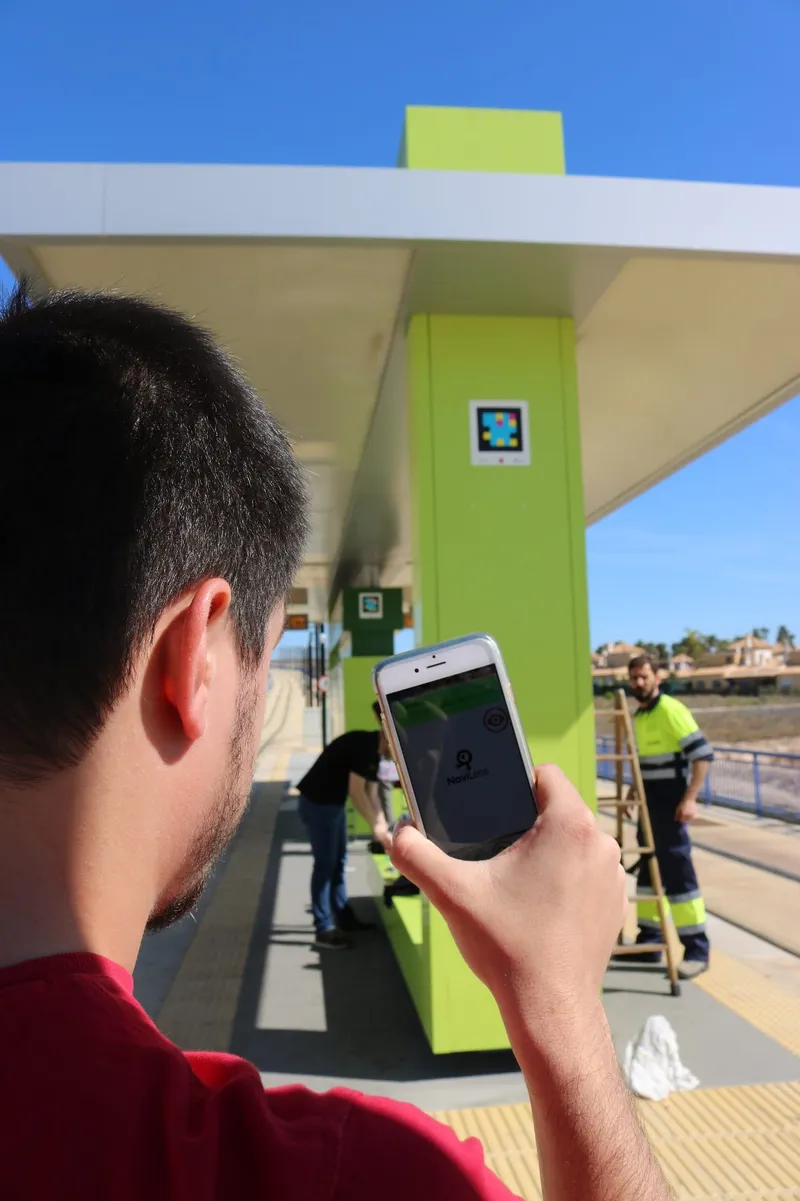
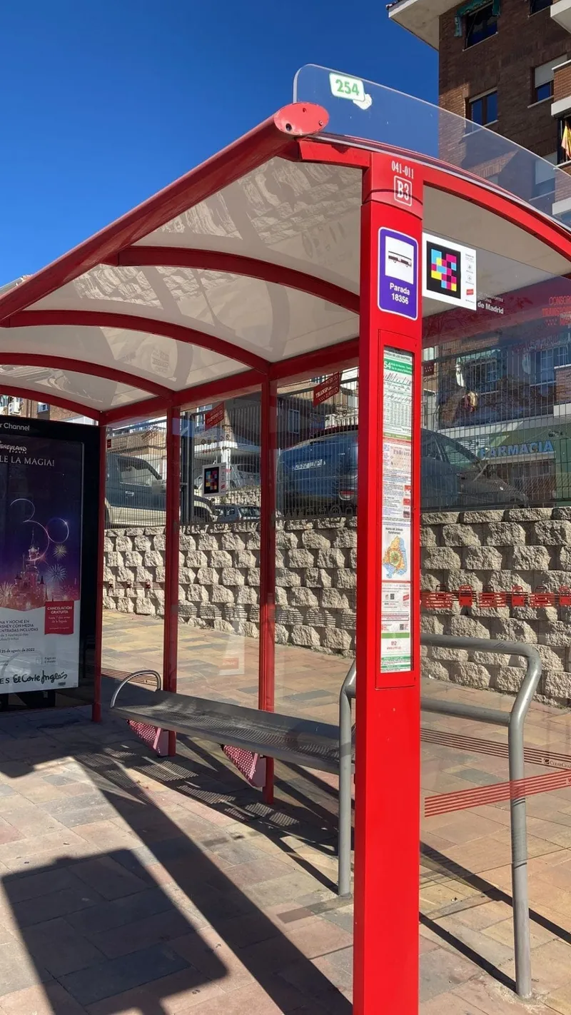
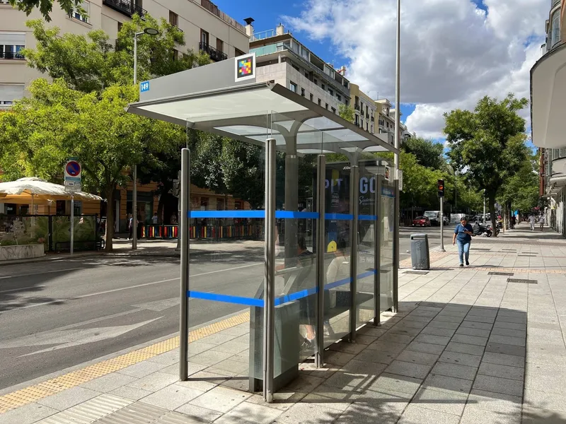
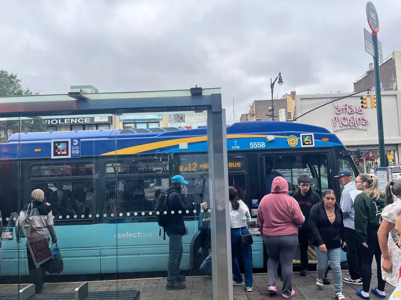
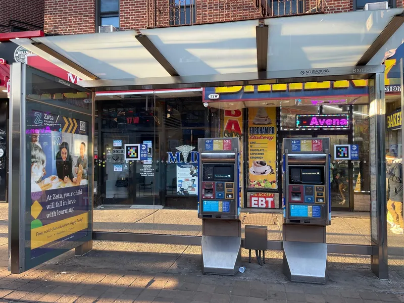
Vectalia Bus — Accessible bus shelters
Alicante
 AmsterdamRail→
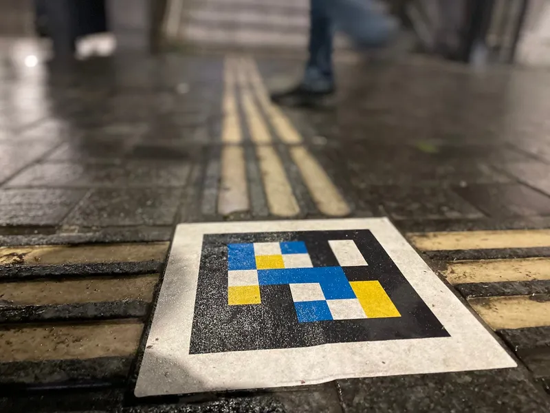
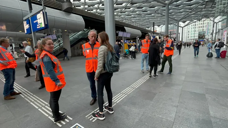
Amsterdam Centraal — ProRail & NS
Amsterdam
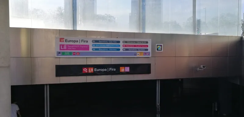 BarcelonaRail→
FGC — Voice guidance system
Barcelona
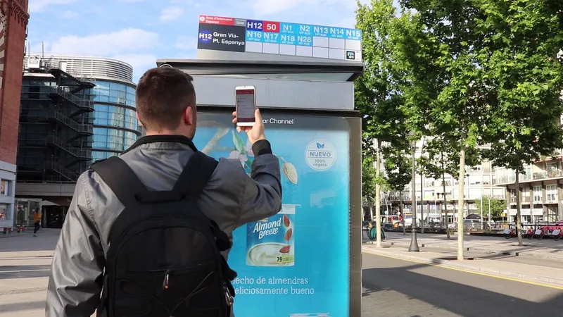
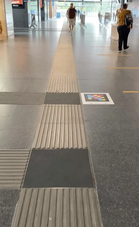
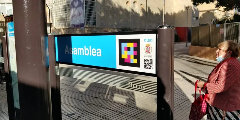
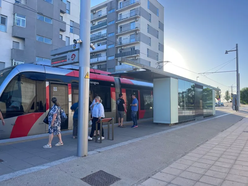
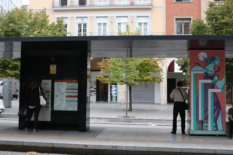
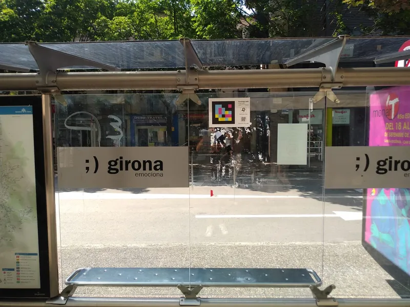
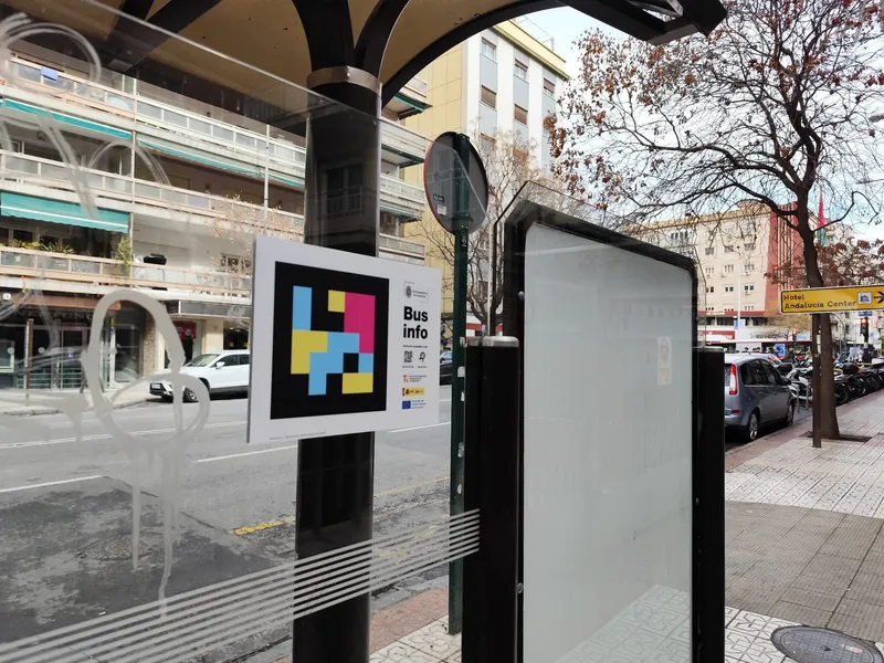
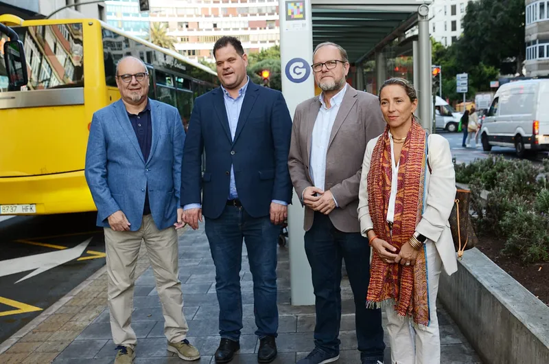
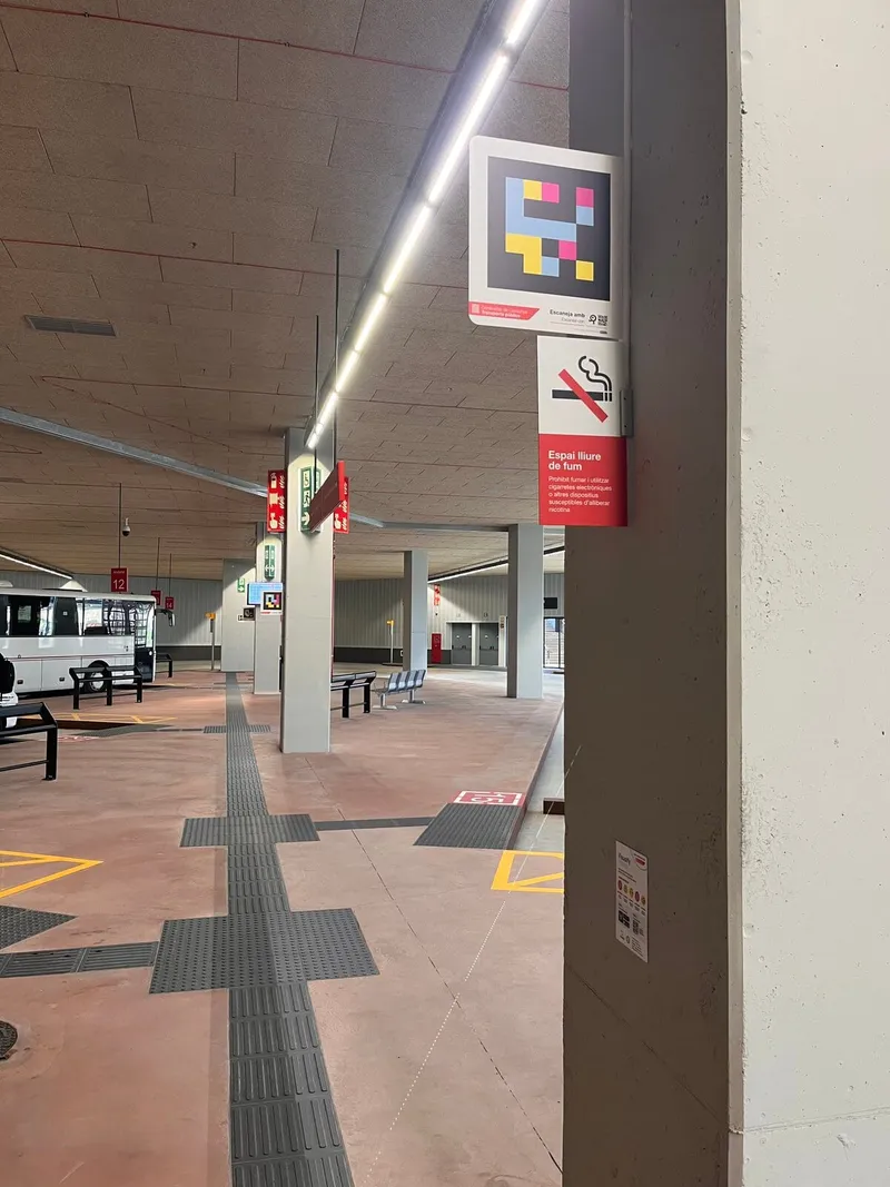
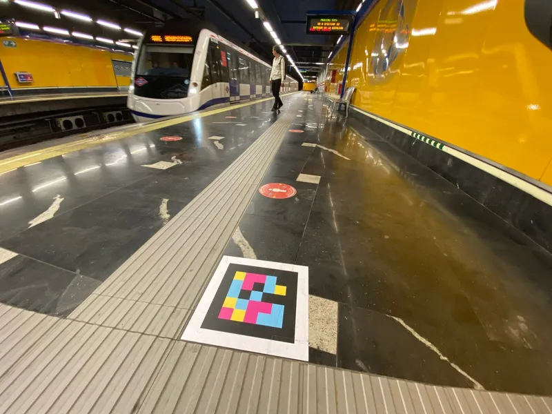
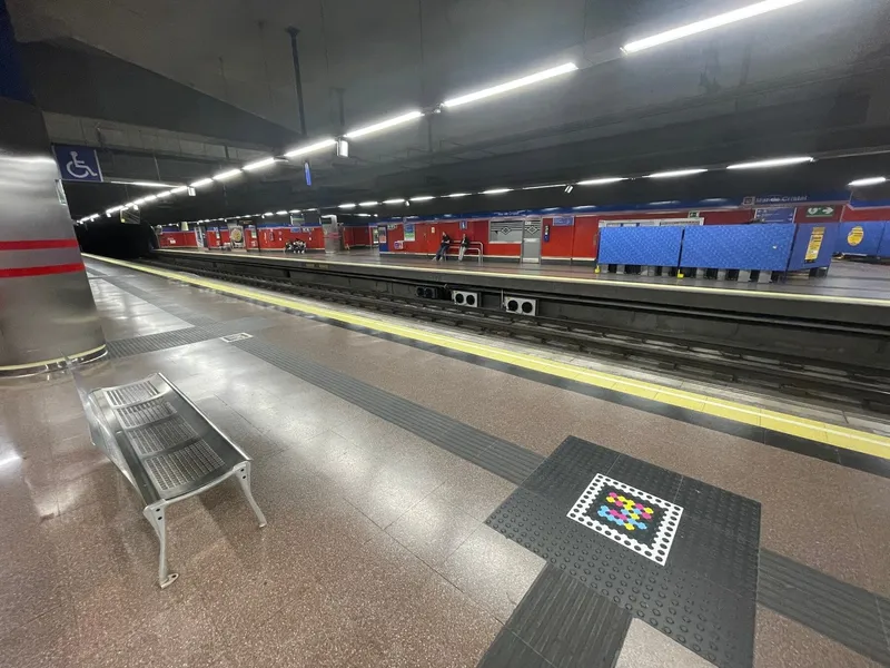
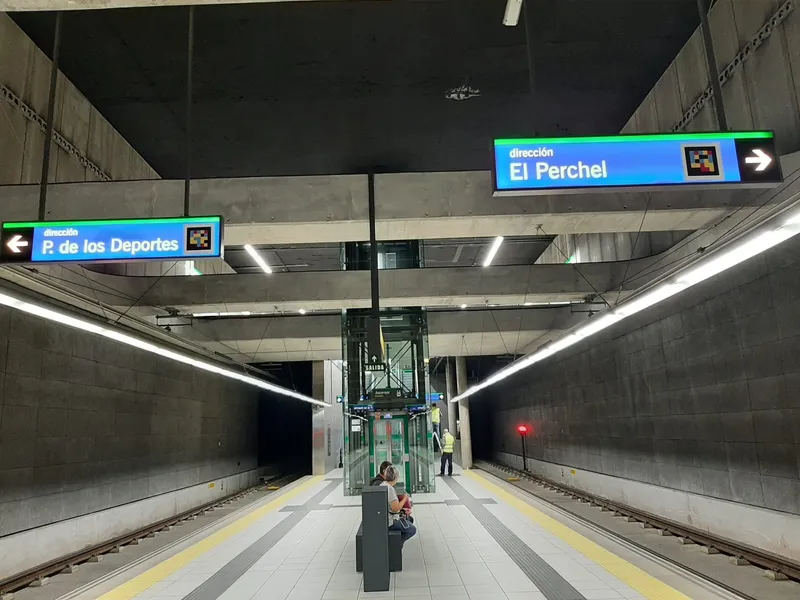
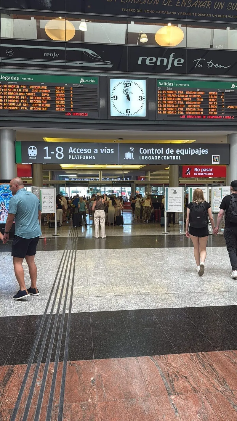
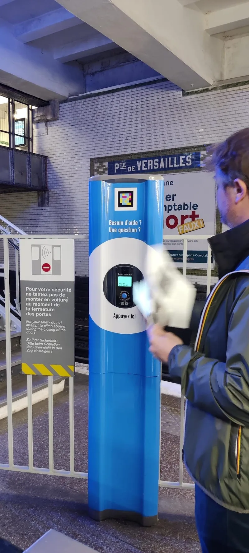
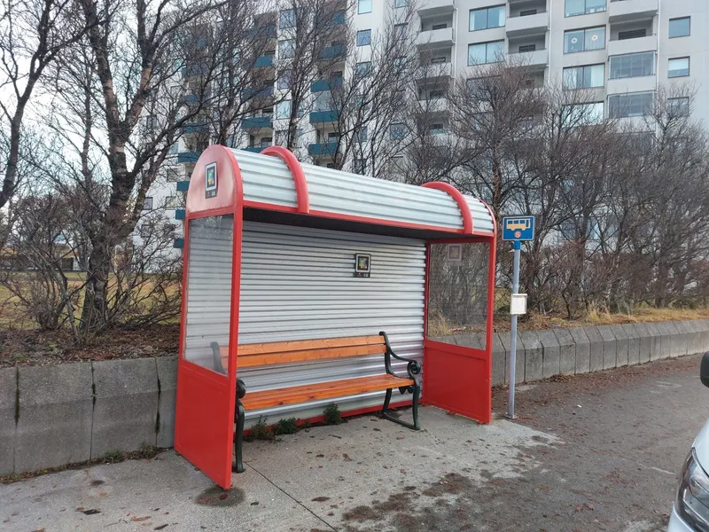
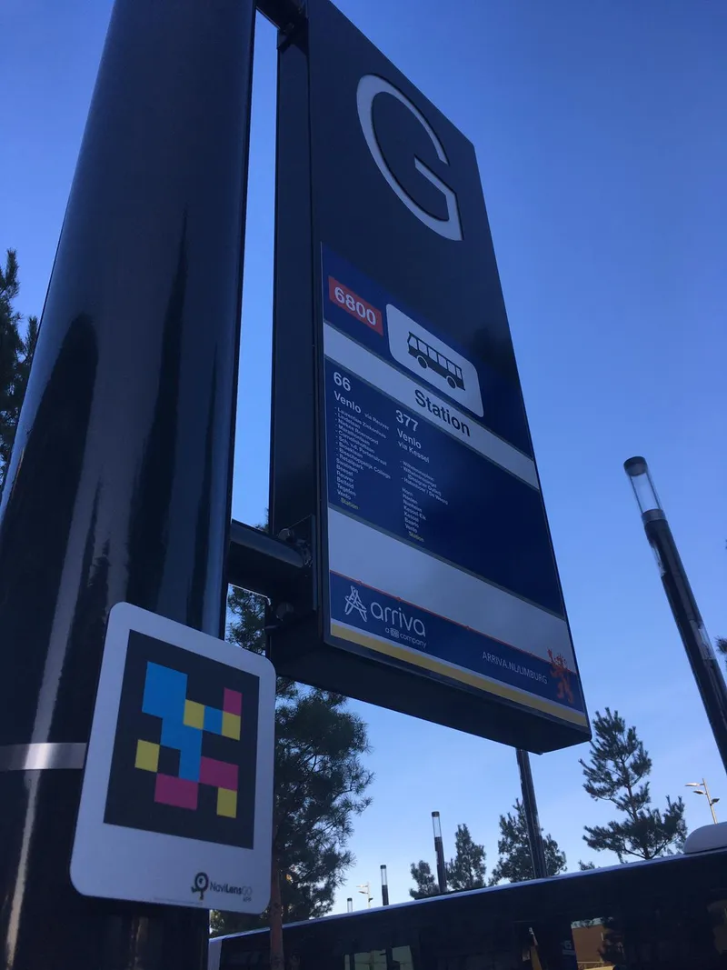
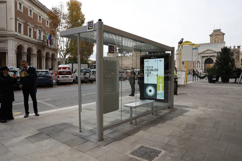
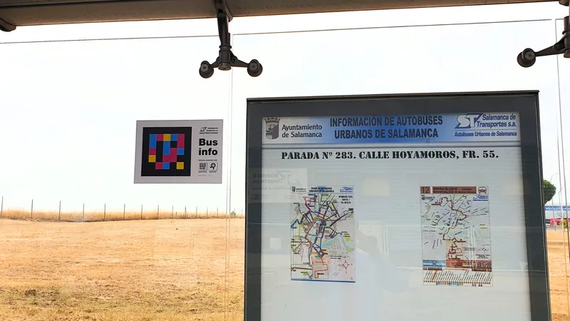
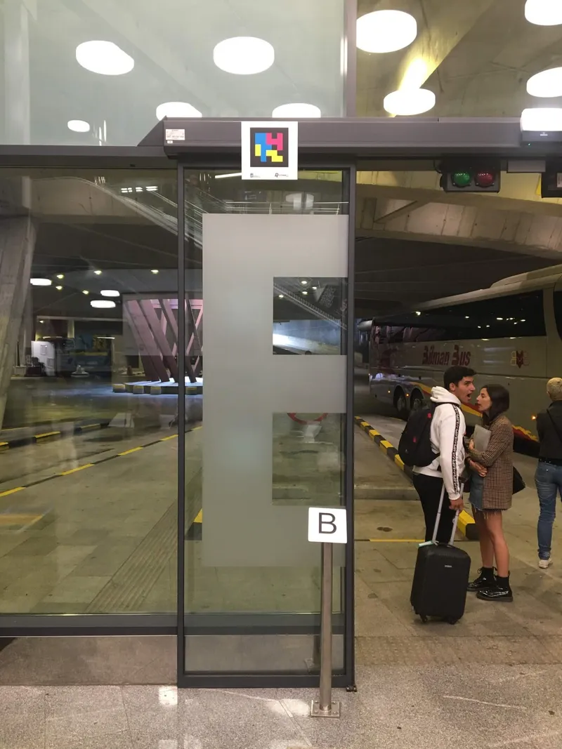
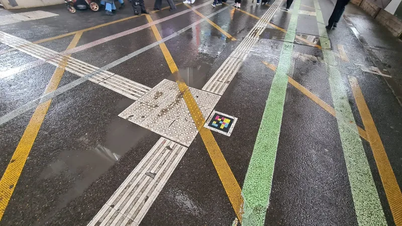
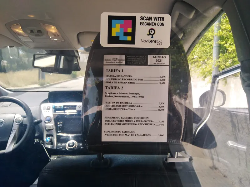
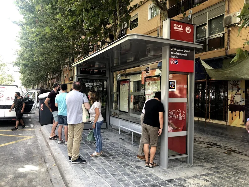
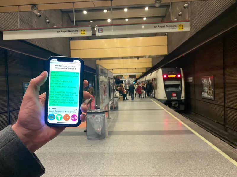
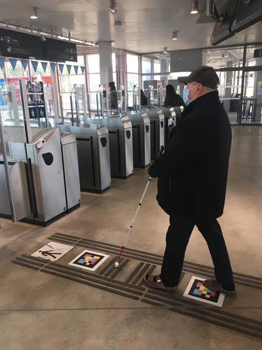
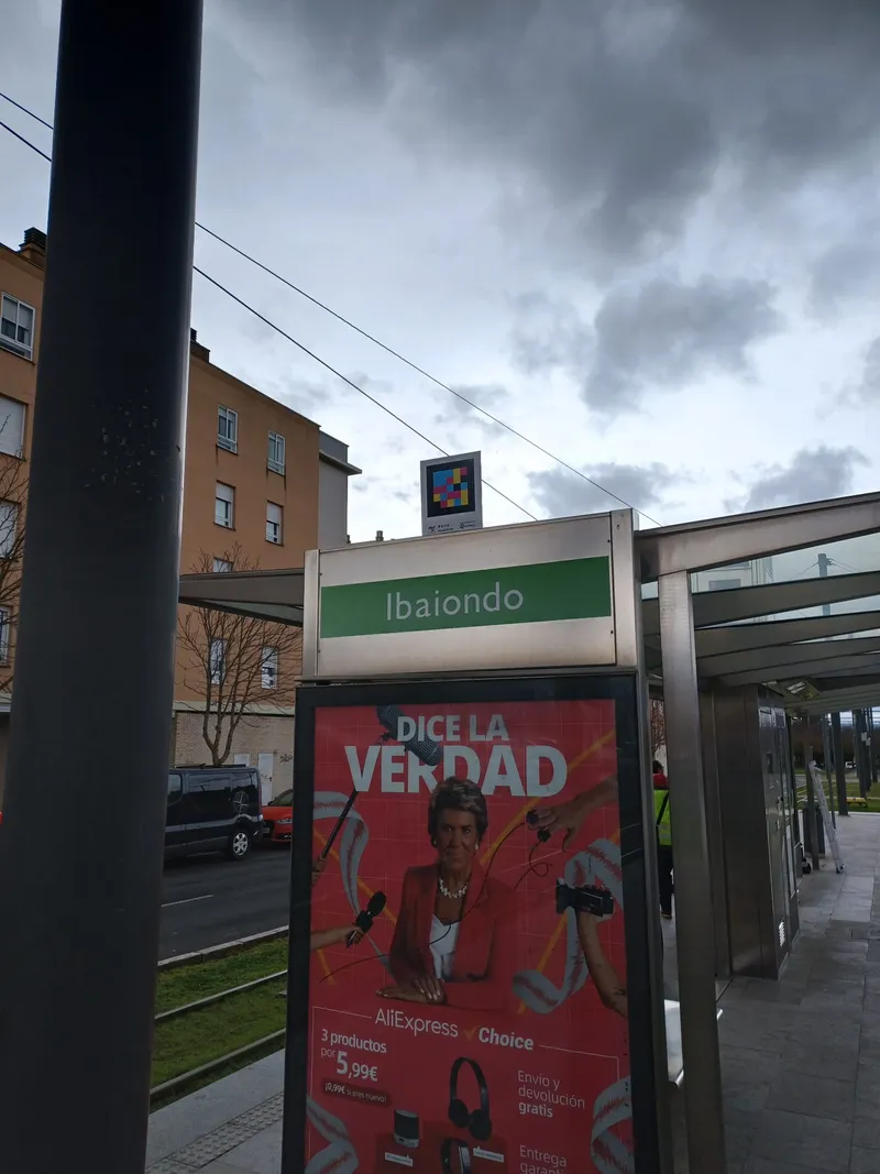
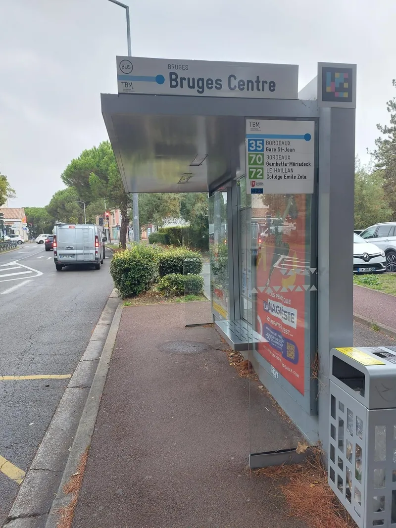
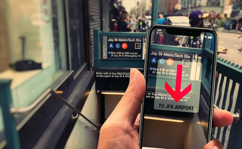
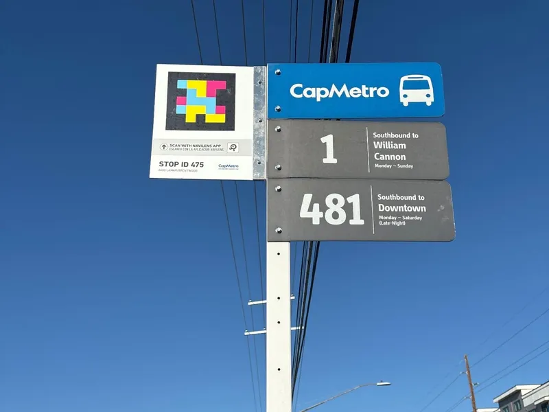
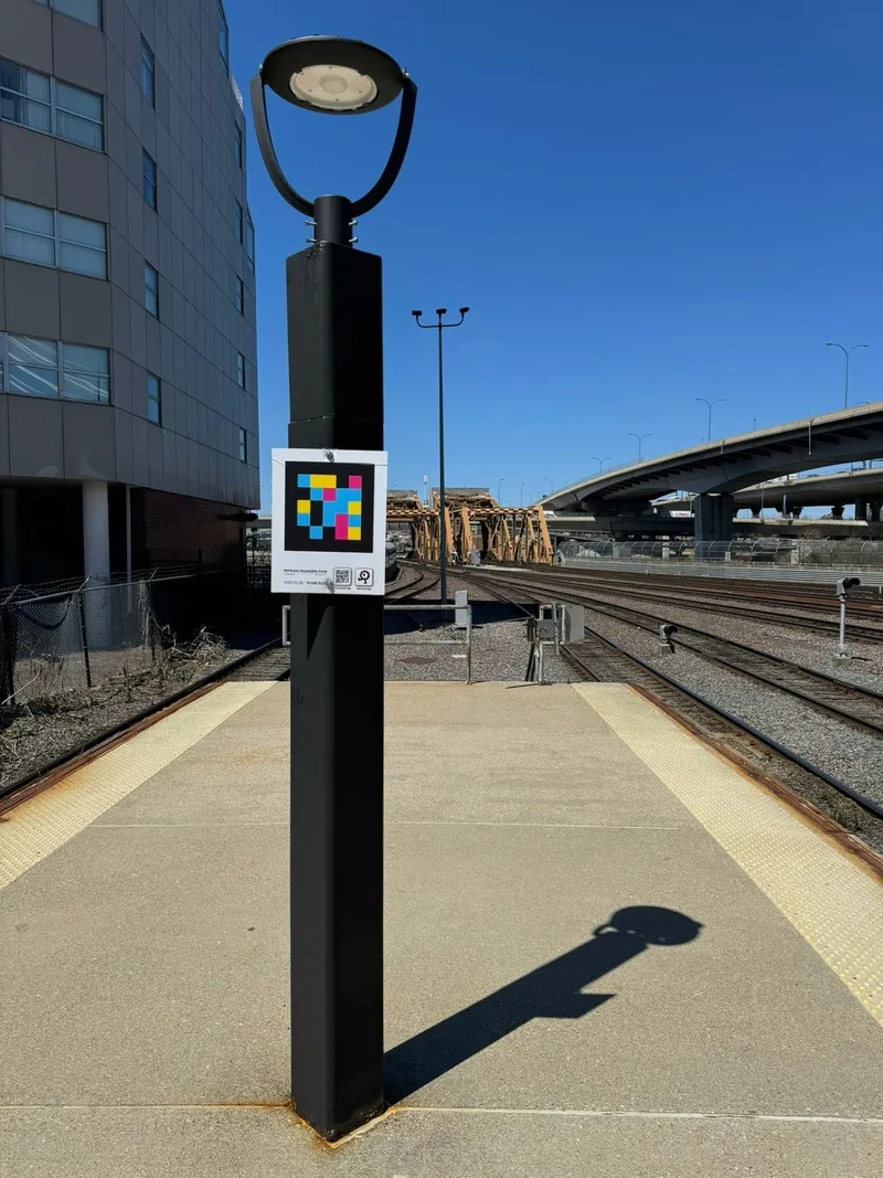
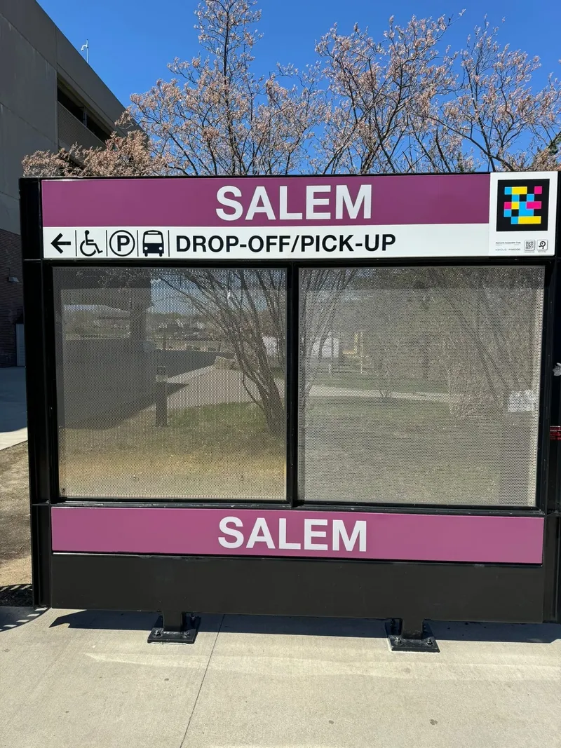
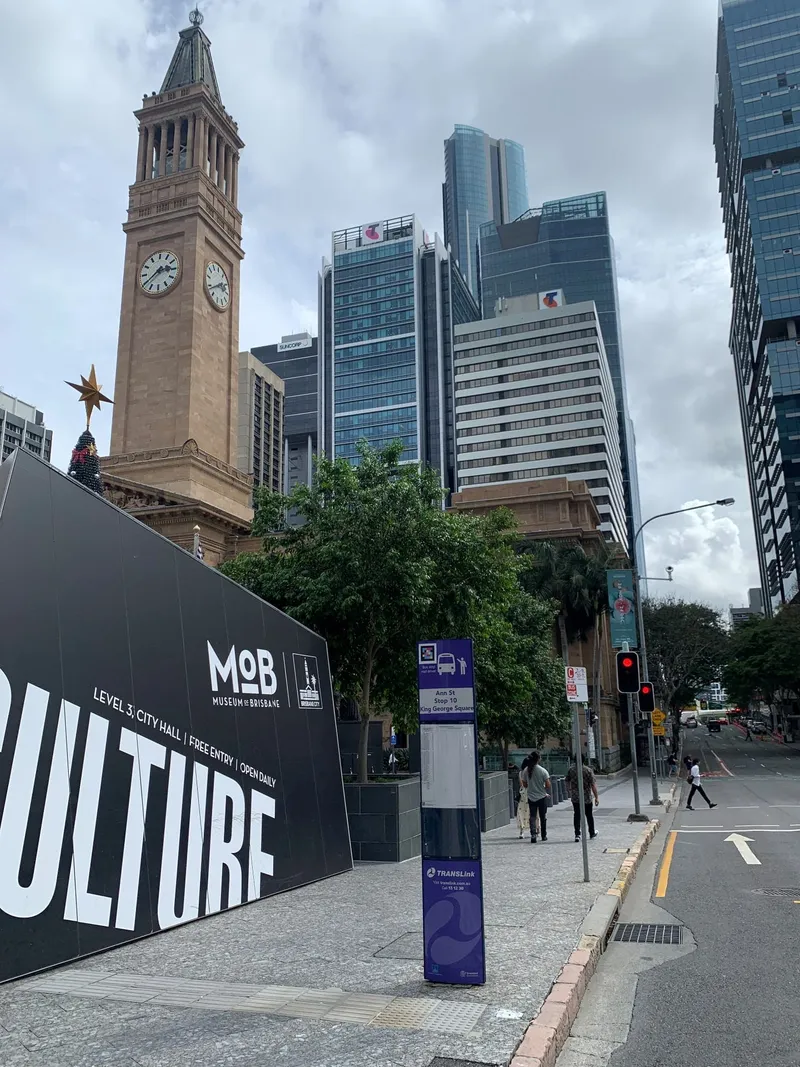
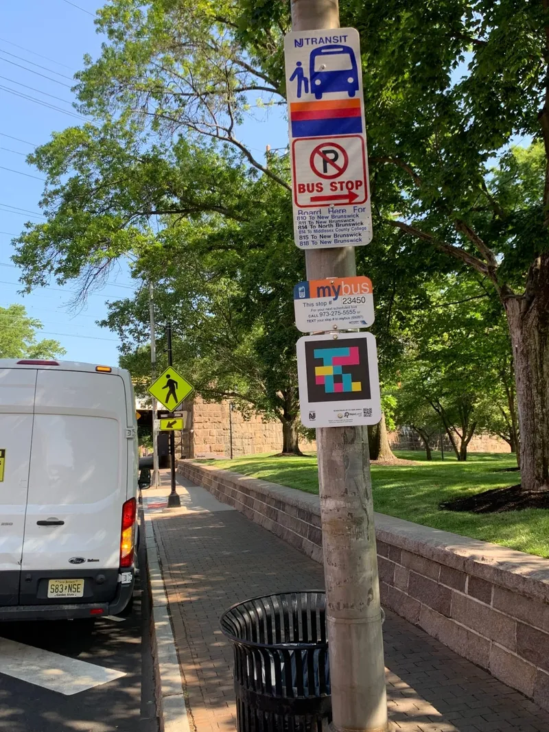
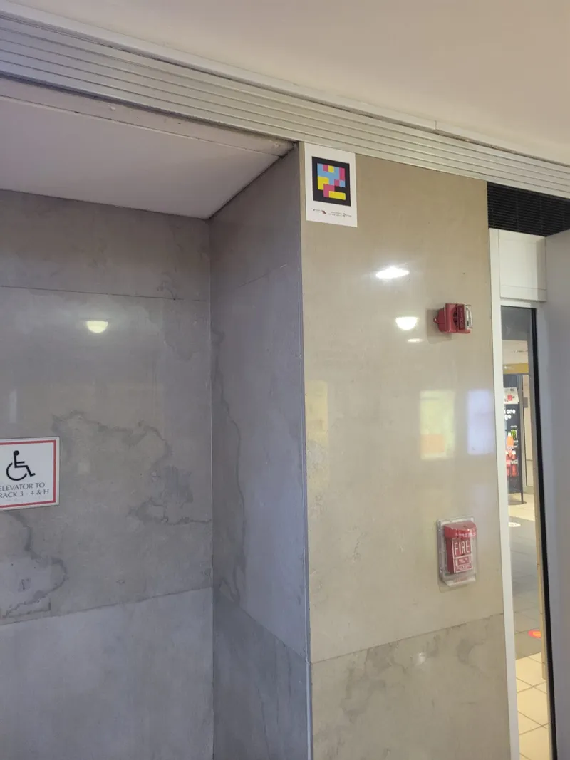
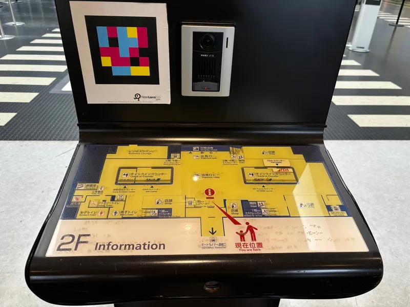
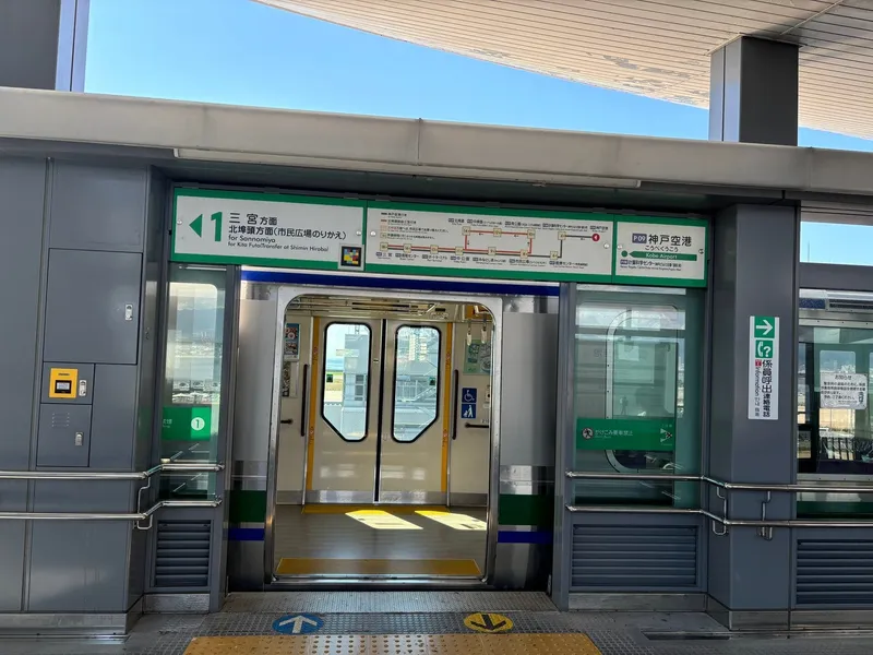
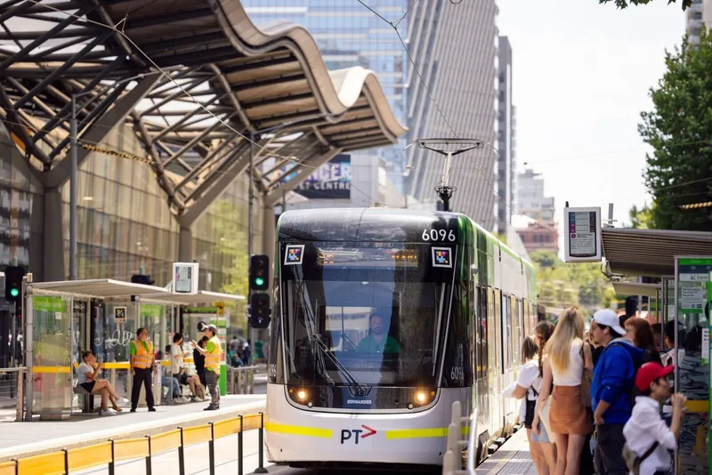
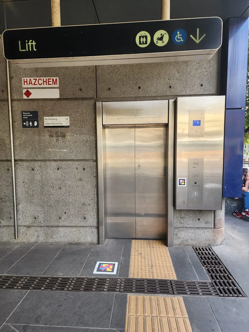
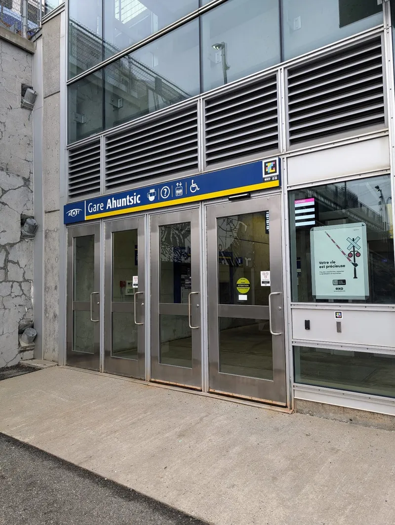
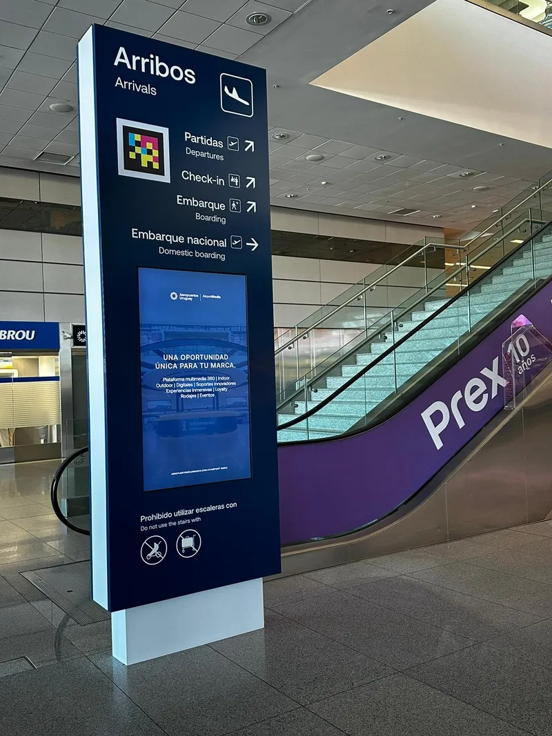
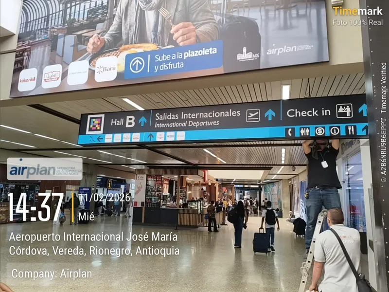
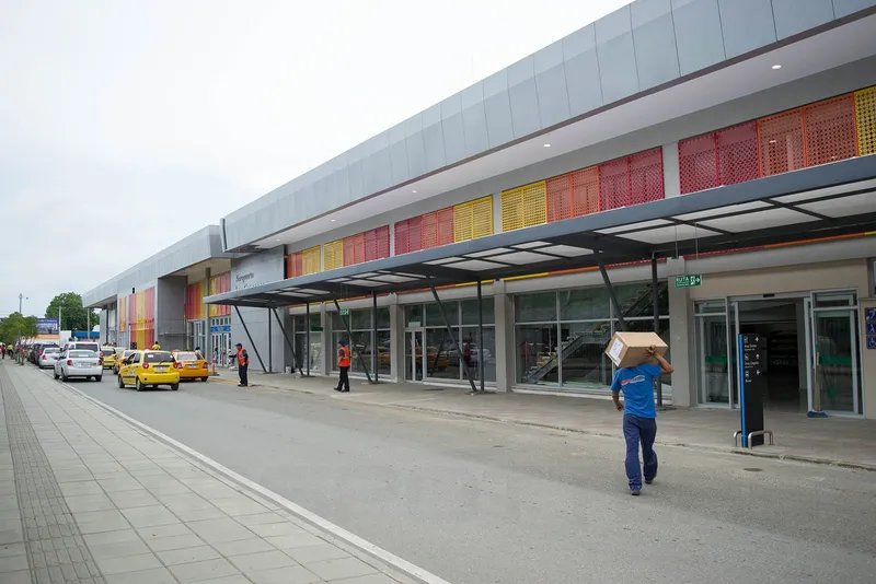
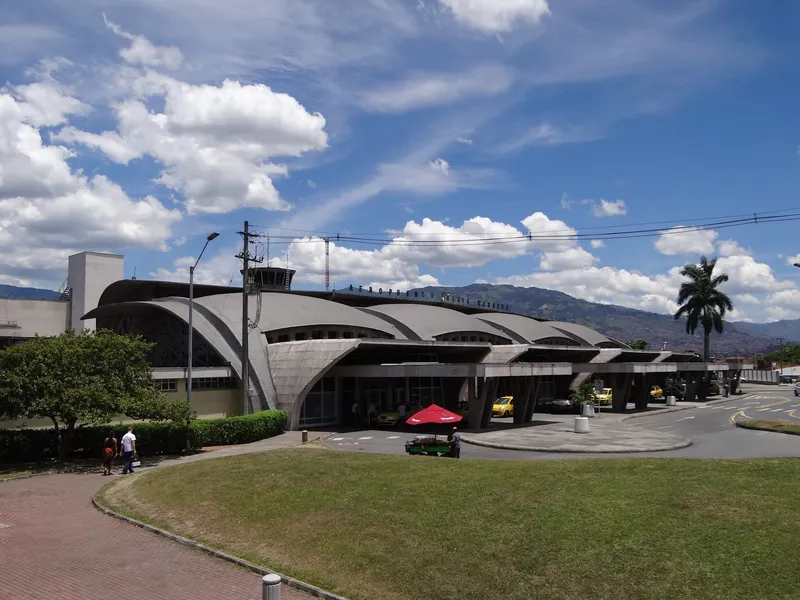
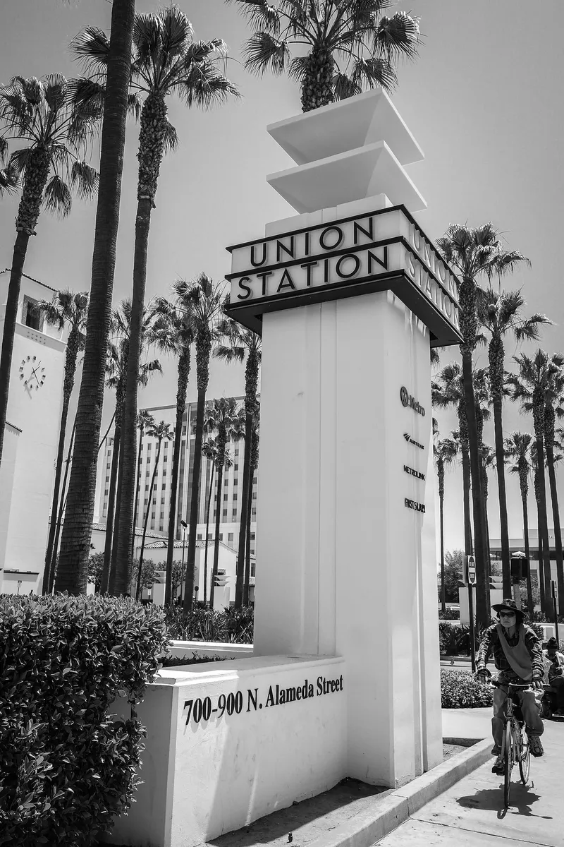
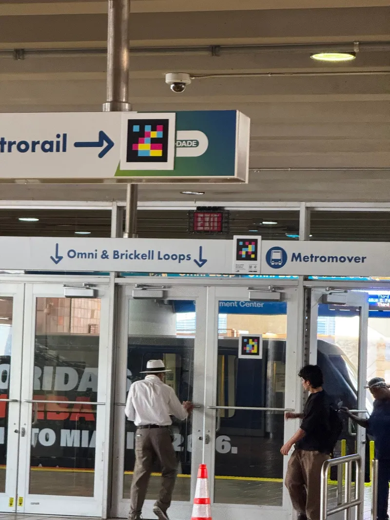
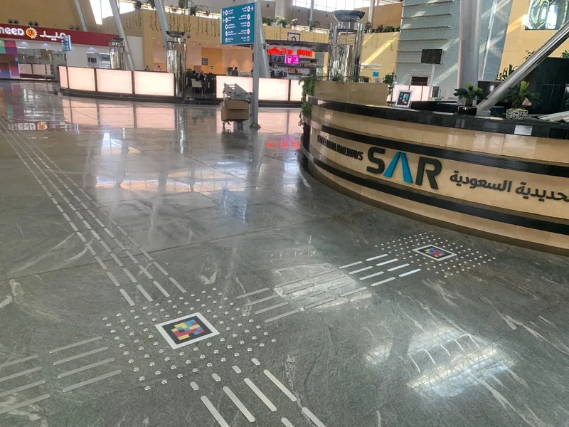
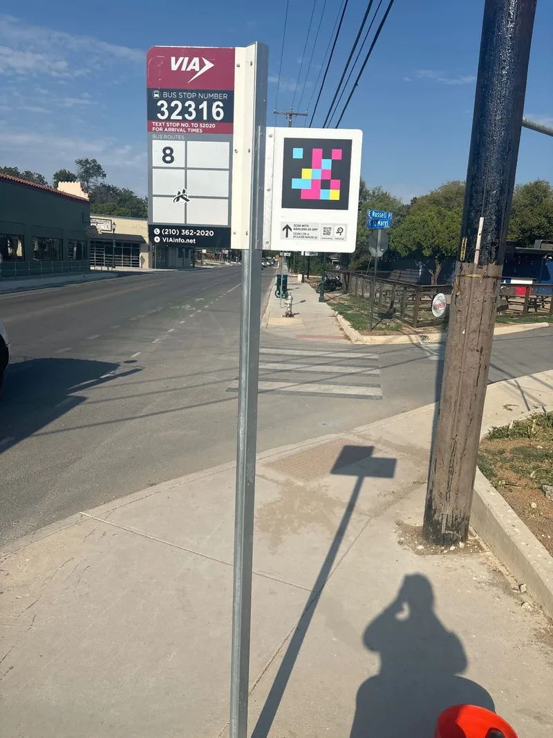
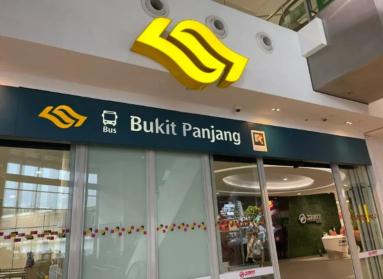

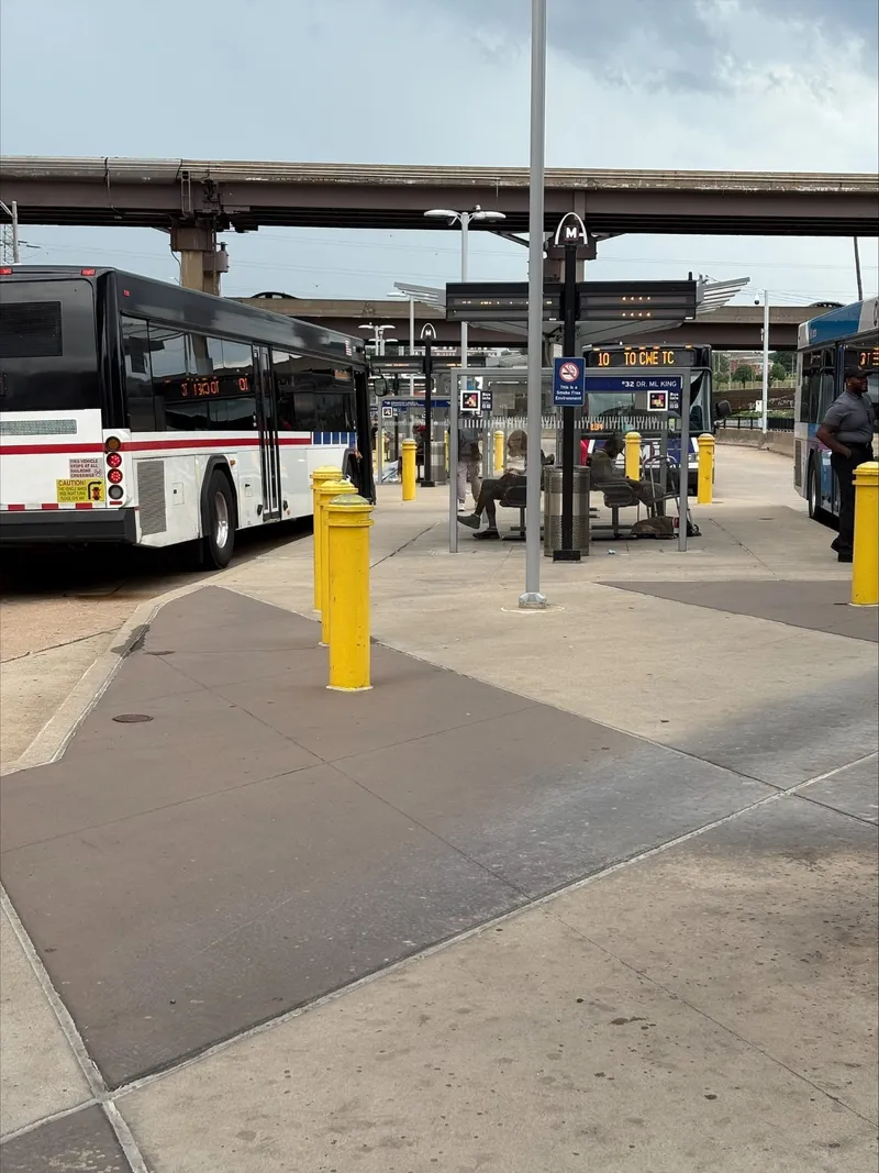
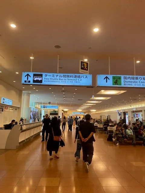
Urban and intercity bus
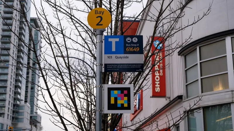
Run a bus network? We make your stops and shelters accessible in 5–6 weeks.
§ Regulatory fit
Accessibility regulations in public transport
NaviLens helps improve the accessibility of passenger information and supports the operator in aligning its digital channels and services with applicable accessibility requirements.
- Equality Act 2010
Reasonable adjustments and auxiliary aids
Operators and transport authorities are service providers under the Act, and section 20 requires them to take reasonable steps to provide auxiliary aids and to give information in an accessible format. The duty is anticipatory: it applies before a blind passenger arrives. NaviLens reads stop, platform and service information aloud on the passenger’s own phone. In Northern Ireland the equivalent duties sit in the Disability Discrimination Act 1995.
- Bus & rail rules
Passenger information on buses and trains
The Public Service Vehicles (Accessible Information) Regulations 2023 require most local buses and coaches in Great Britain to announce the route, direction and each upcoming stop both audibly and visibly, phased in up to October 2026. On the railway, the ORR’s Accessible Travel Policy is a licence condition for train and station operators. NaviLens carries the same audible information to the stop, the station and the platform.
- PSBAR 2018
Public sector websites and apps
The Public Sector Bodies (Websites and Mobile Applications) Accessibility Regulations 2018 set WCAG 2.2 AA for the websites and apps of public bodies such as transport authorities. GDS monitors them and the EHRC (the ECNI in Northern Ireland) enforces. NaviLens extends that digital accessibility into the physical journey, through the screen reader the passenger already uses.
§ Integration
Integration with CAD/AVL and passenger information
We plug into your current systems — no vendor swap, no rewriting your rider-information layer.
- CAD / AVL
- Rider-information systems
- PA & display boards
- Agency mobile apps
- Ticketing platforms
- GTFS / GTFS-RT
§ Frequently asked questions
What operations teams usually ask us.
§ Let's talk
Work in mobility and want to learn more?
Tell us about your network. We'll design the pilot, the rollout and the impact metrics with you.