§ Sector — Transit
Smart signage for accessible public transit
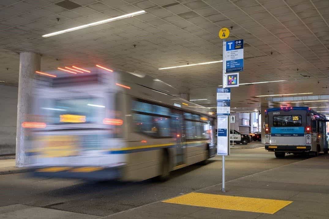
NaviLens improves accessibility in stations, stops, platforms and vehicles with smart wayfinding and instant, contextual, reliable passenger information.
- 30+
- Transit agencies
- 42
- Languages with audio output
- 100 ft
- Detection distance
- 160°
- Code capture angle
§ Why NaviLens in transit
Accessible signage in stations, stops and vehicles
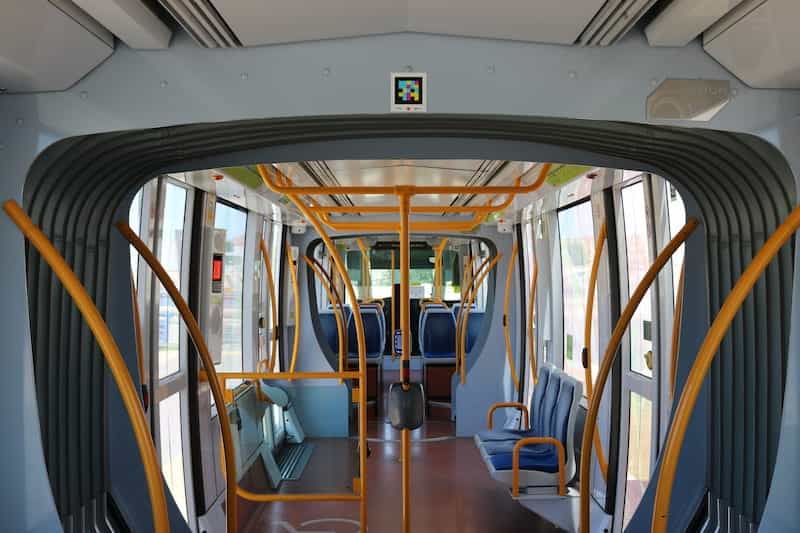
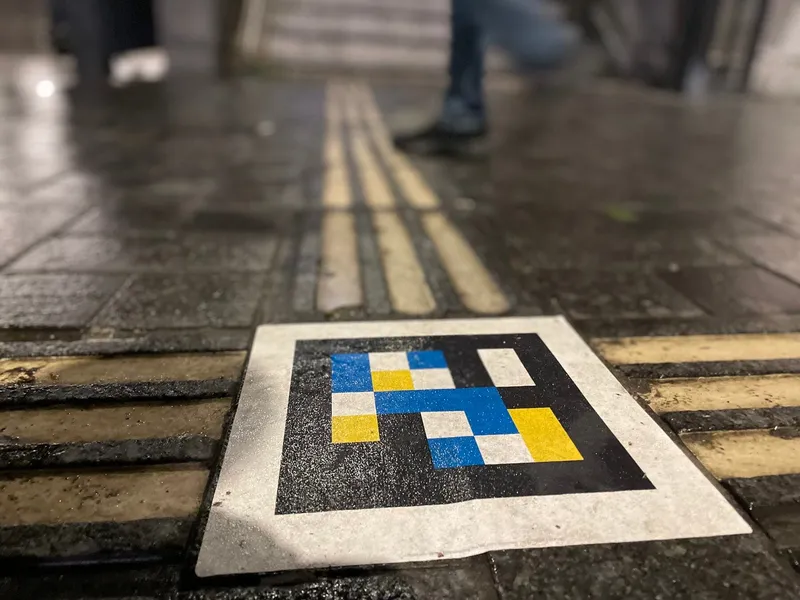
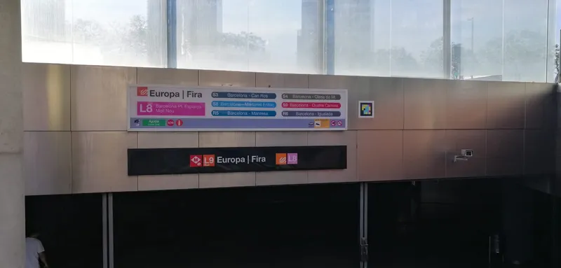
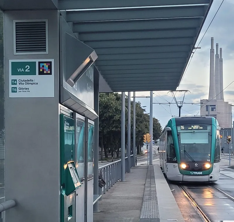
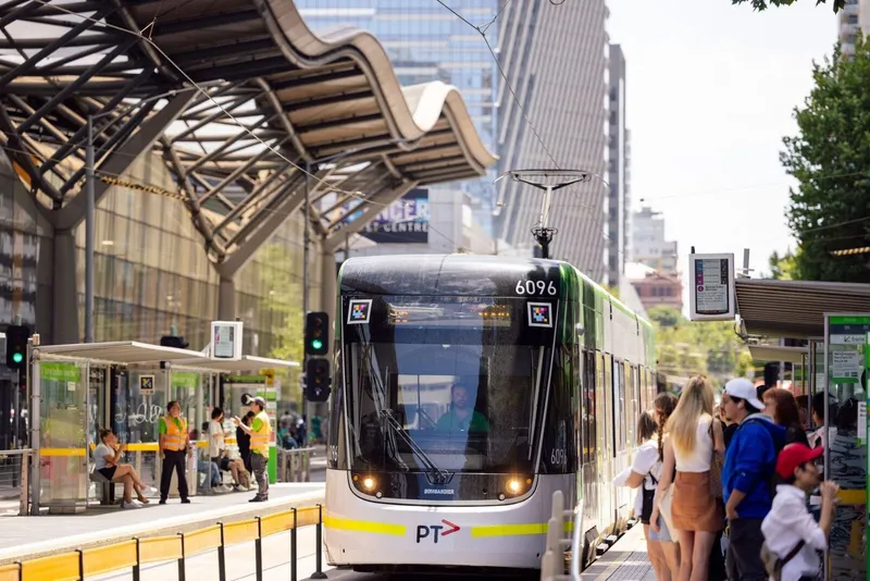
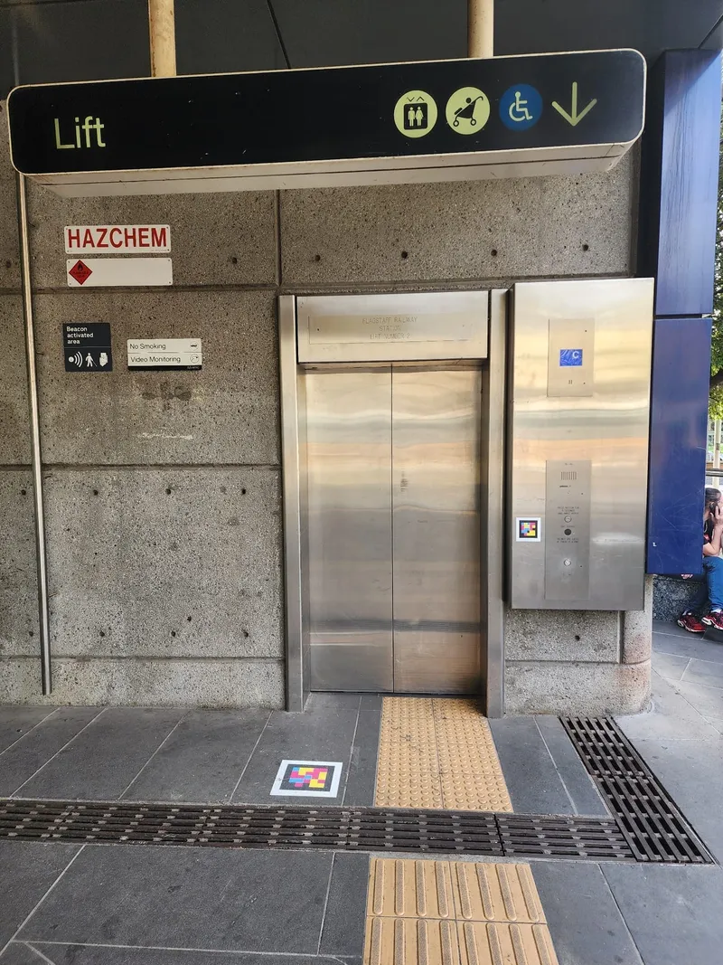
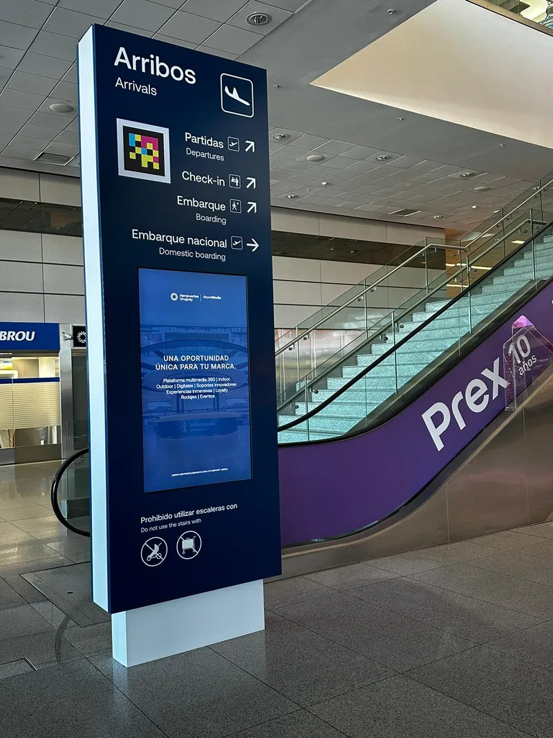
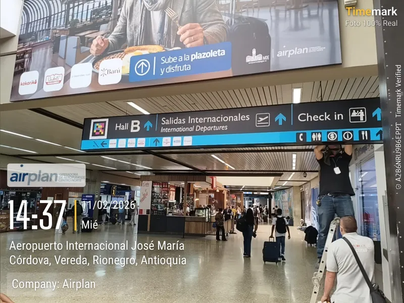
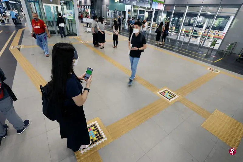
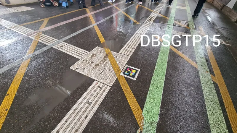
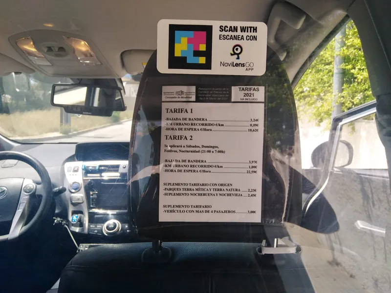
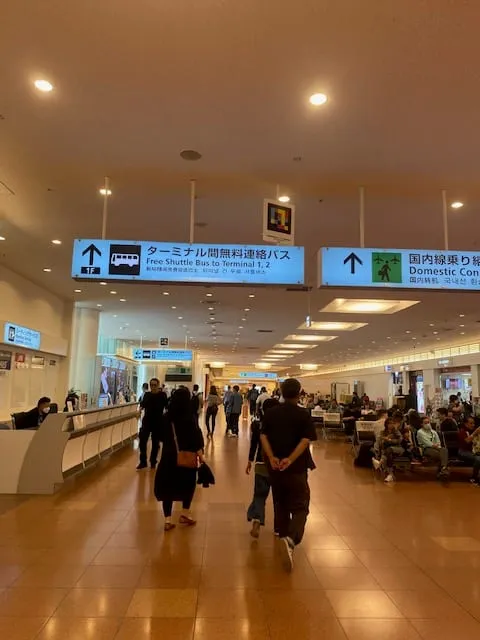
NaviLens adds an accessible wayfinding and digital information layer across stations, stops, platforms and vehicles, supporting independent navigation and real-time access to passenger information.
- 01
Independent wayfinding
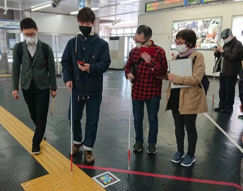
Riders move on their own through unfamiliar, changing or hard-to-read environments. Accessible, multilingual info that improves the experience for locals and visitors alike.
- 02
Works where complexity peaks
Contextual information exactly where riders need it most—stations, stops, intermodal hubs—so the network feels easier to navigate.
- 03
Useful tech, easy to run
An accessibility layer that adapts to each network. Managed from a simple platform built for accessibility and customer-experience teams.
§ How we roll it out
Roll-out phases of an accessible wayfinding system
A clear process, no surprises, designed for accessibility, operations and IT teams. Pilot live in 4–6 weeks.
- 01
Discovery
We map your network with you, the critical accessibility gaps and the KPIs you want to move.
1–2 weeks
- 02
Pilot
We deploy on a single line, station or fleet, with staff training and usage metrics from day one.
2–4 weeks
- 03
Rollout
We support the operator as they extend the rollout to the rest of the network in phases, integrated with their rider-information systems.
By phases
- 04
Measure & iterate
Usage, accessibility and impact reporting. We iterate with you so value compounds over time.
Ongoing
§ Featured story
Metropolitan Transportation Authority
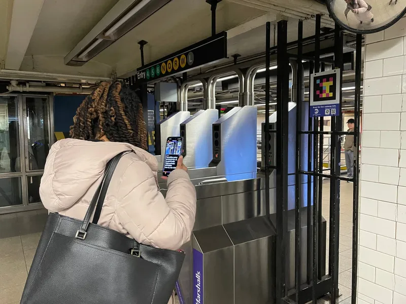
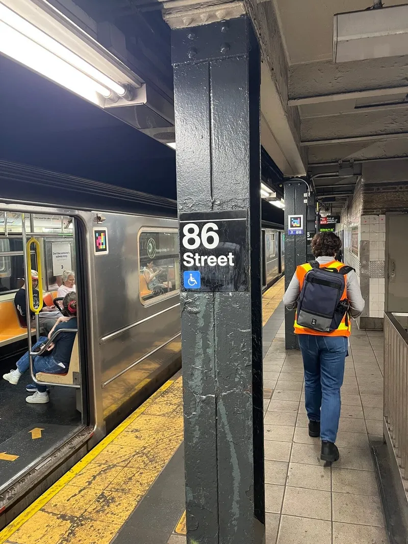
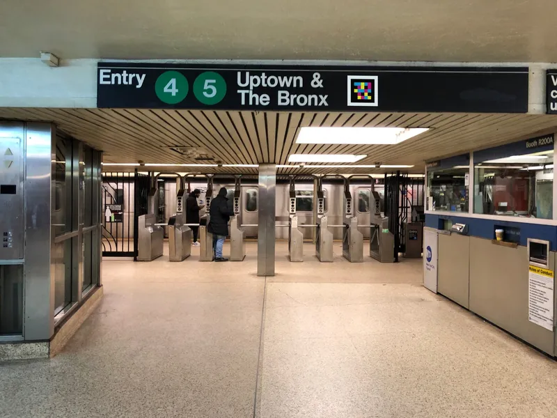
How we did it: NaviLens in the New York City subway.
One of the most complex subway networks in the world, now with an accessible information layer at pilot stations: wayfinding, lines, transfers and real-time alerts.
Read the story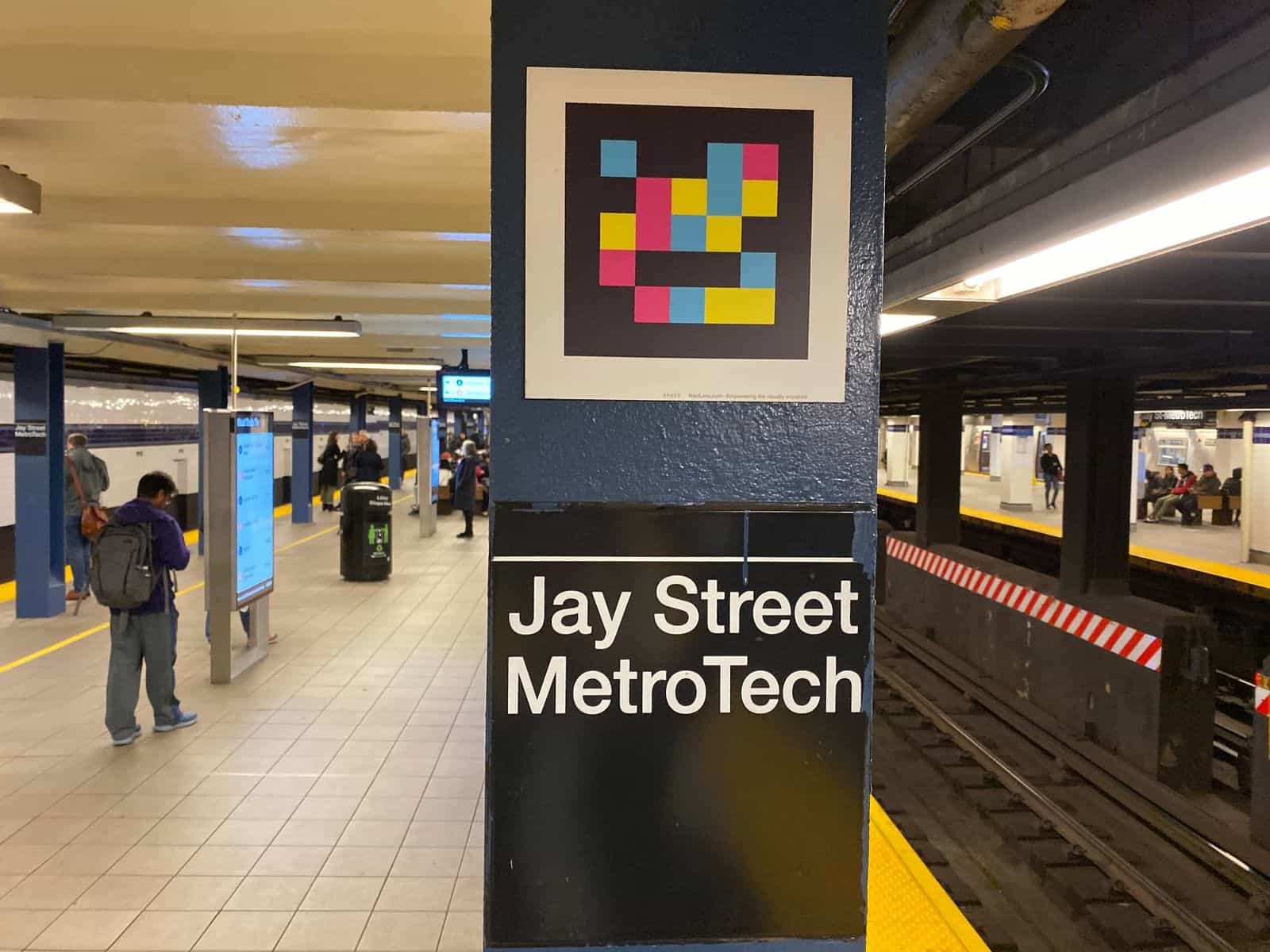
§ In their own words — Transit
What agencies running NaviLens are saying.
- New YorkOriginal quote in English
It's really encouraging to not only see so many customers test the features as they travel through the station but to ask questions and provide comments as well. We welcome the honest feedback and look forward to receiving results that will help us determine what features to incorporate into future accessibility projects.
Alex Elegudin
Senior Advisor for Systemwide Accessibility · NYC Transit
- AustinOriginal quote in English
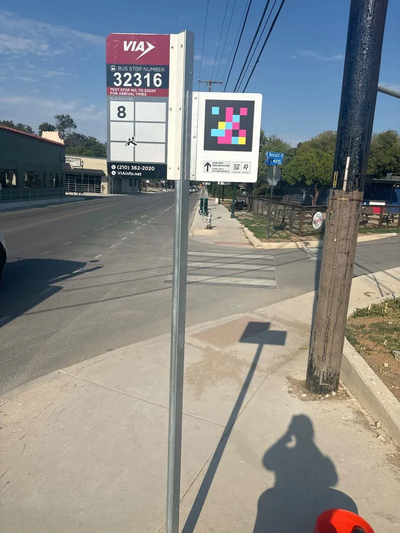
Navigating access to public transit can be difficult for those with disabilities, specifically individuals who are blind or have low vision. We believe using public transit should be safe and easy for everyone. That is why CapMetro is piloting two user-friendly apps, NaviLens and Waymap, which are designed to assist blind and low-vision customers when using our services.
Matthew Banks
WayPoint Blog · CapMetro News
- BostonOriginal quote in English
The MBTA welcomes and supports every opportunity to make our system easier to access, especially for riders who depend on it most. I'm proud of the work by Keolis and our System-wide Accessibility team to provide the new NaviLens technology pilot for riders who are blind or with low vision. The ability to access our Commuter Rail stations with confidence further supports riders' independence.
Phillip Eng
General Manager & CEO · MBTA
§ Success stories
Transit networks already running NaviLens
Each card is a transit, bus or rail network where NaviLens already guides riders on their daily trips. Open one to see how we did it.
 New YorkRail transit→
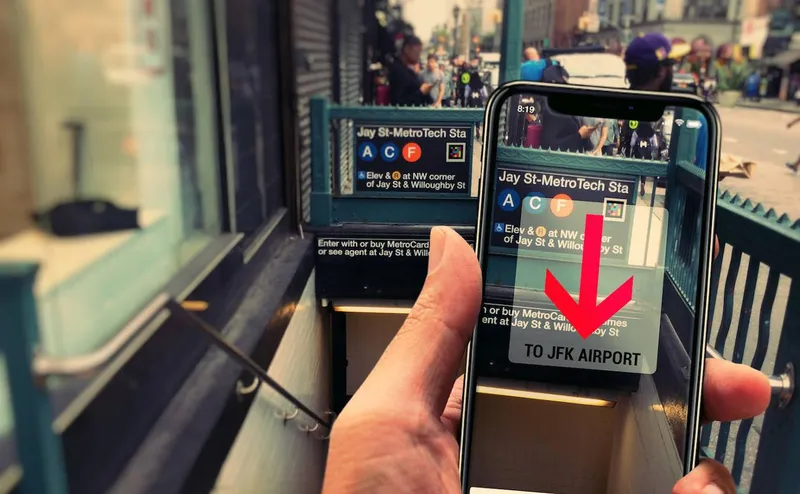
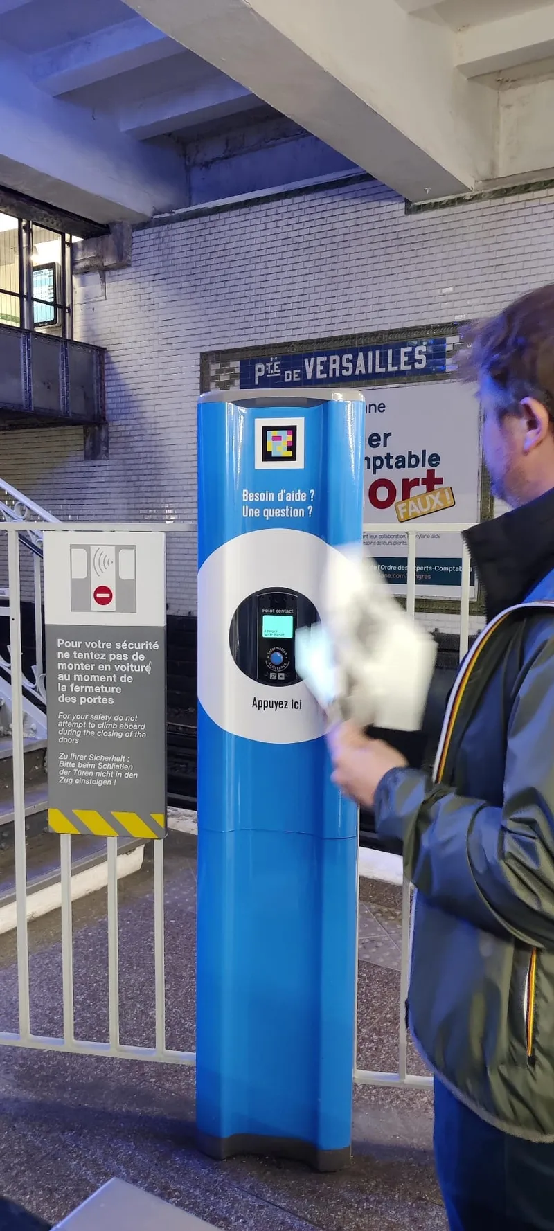
MTA — From Jay Street to a New York-wide rollout
New York
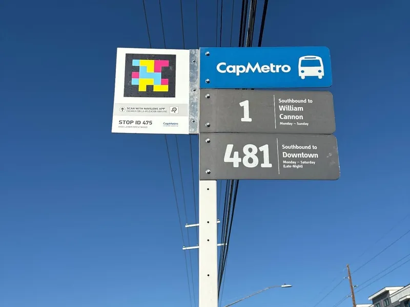 AustinBus→
CapMetro — NaviLens bus pilot
Austin
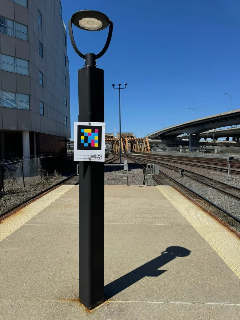 BostonRail→
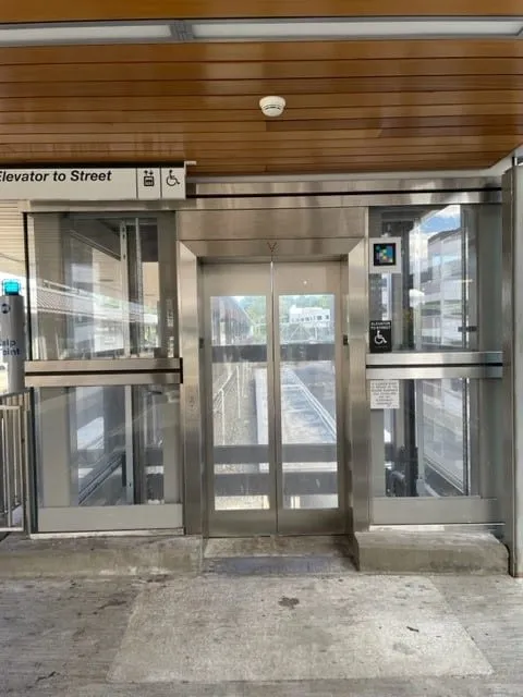
MBTA Commuter Rail — Keolis & Arcadis
Boston
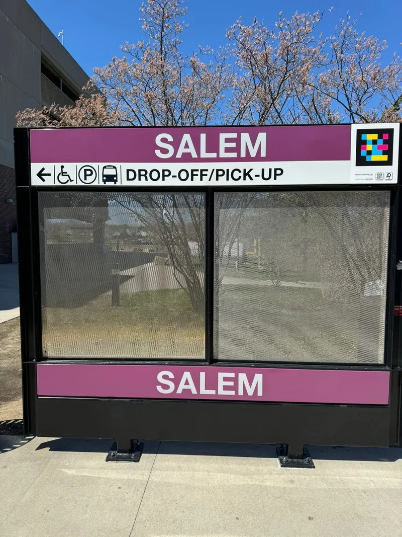 SalemStation→
Salem Station (MBTA) — Keolis & Arcadis
Salem
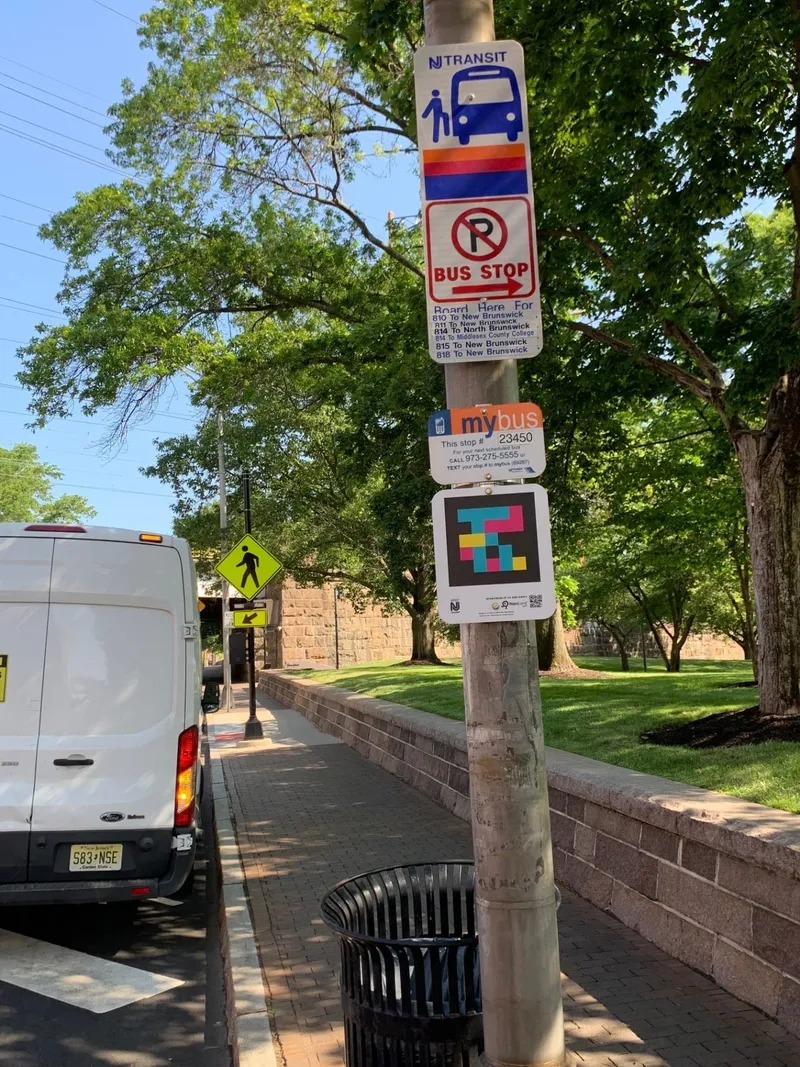 New Brunswick (NJ)Bus→
NJ TRANSIT · New Brunswick — 51 accessible bus stops with NaviLens
New Brunswick (NJ)
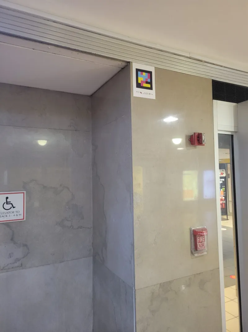 Newark (NJ)Rail→
NJ TRANSIT · Newark Penn Station — accessible wayfinding with NaviLens
Newark (NJ)
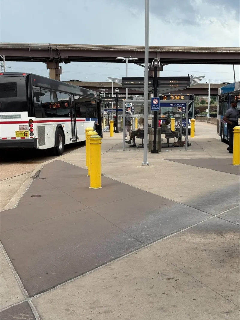
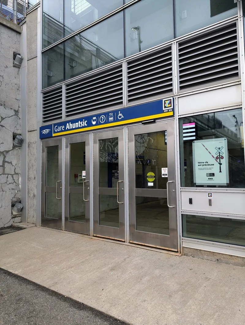
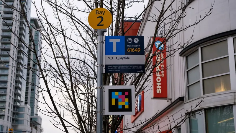
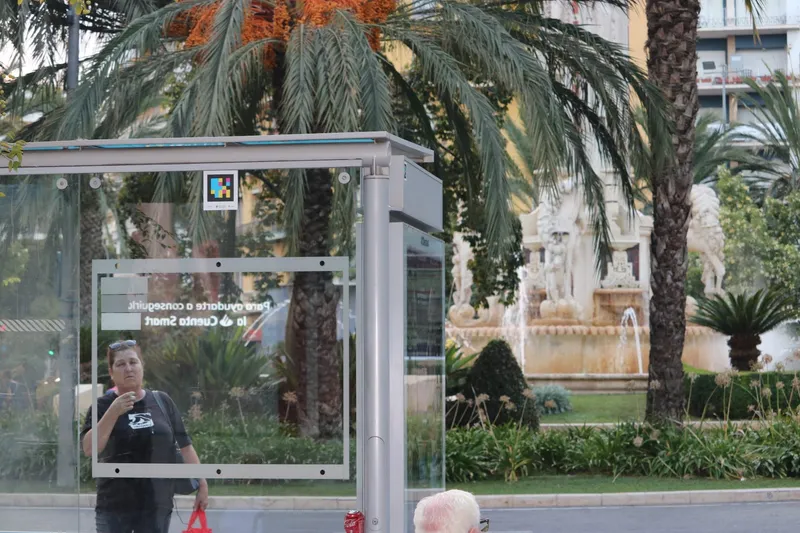
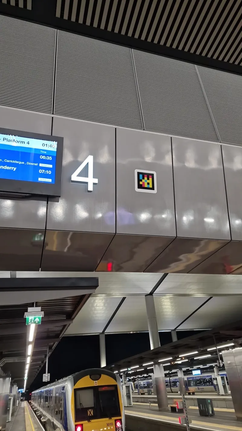
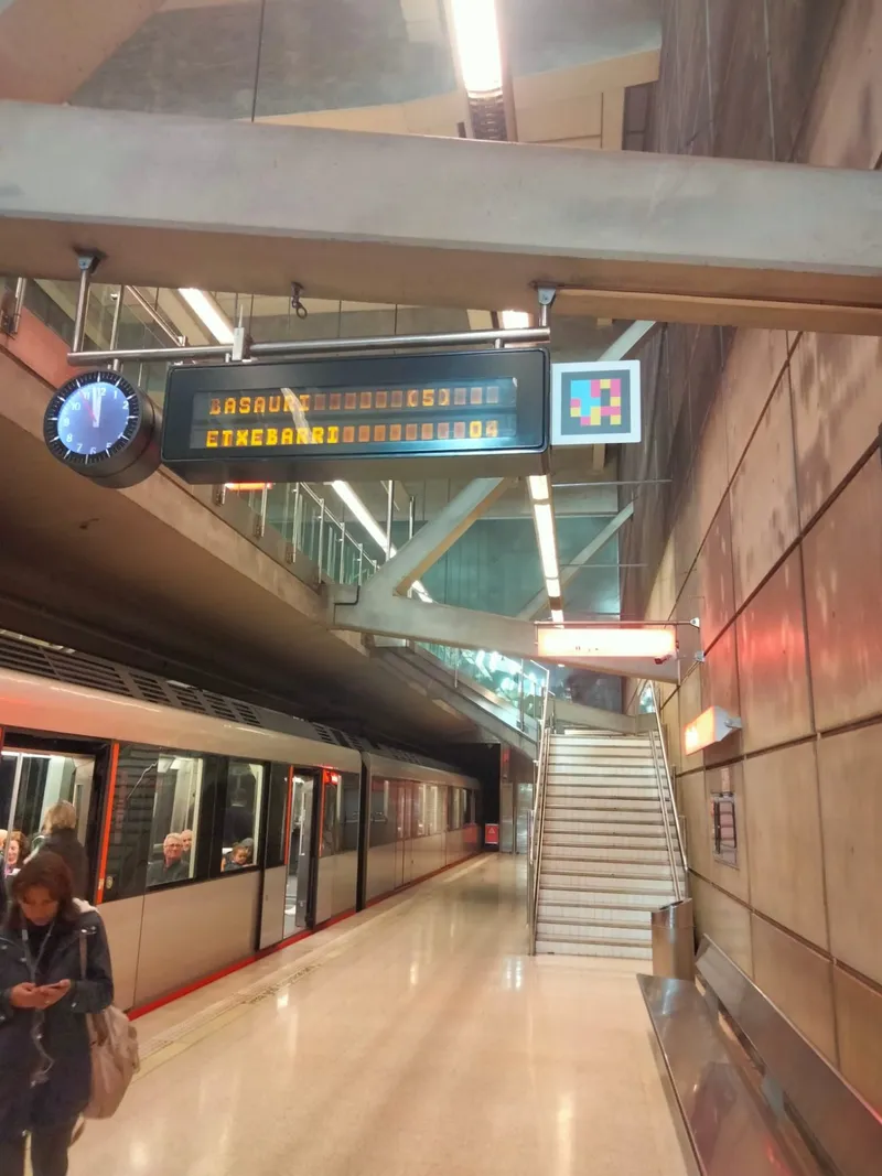
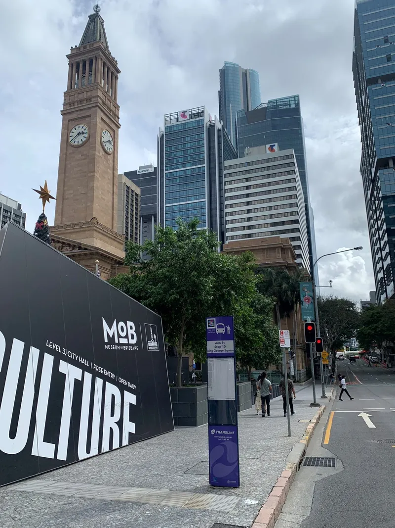
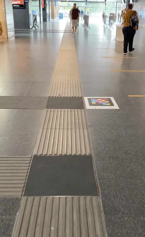
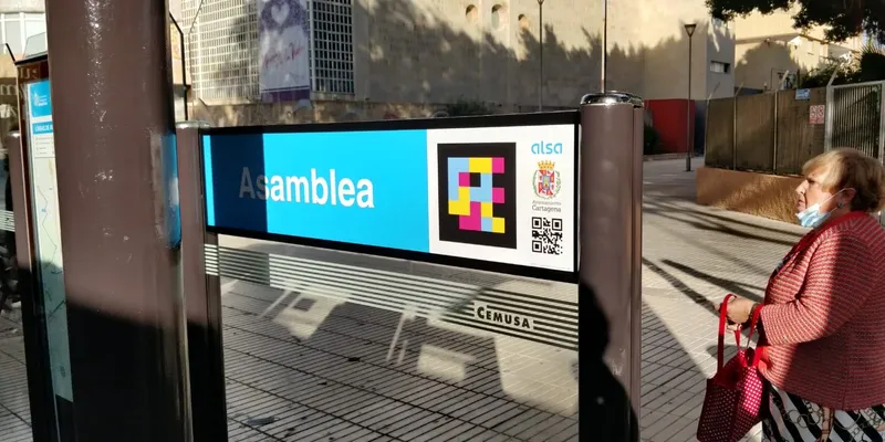
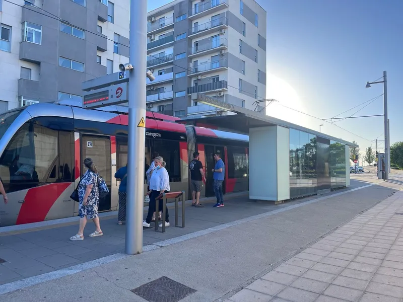
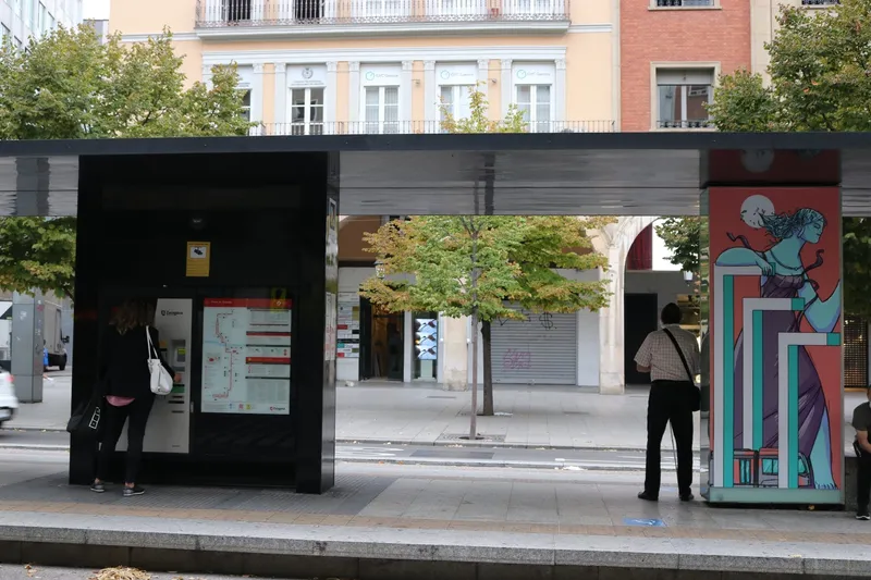
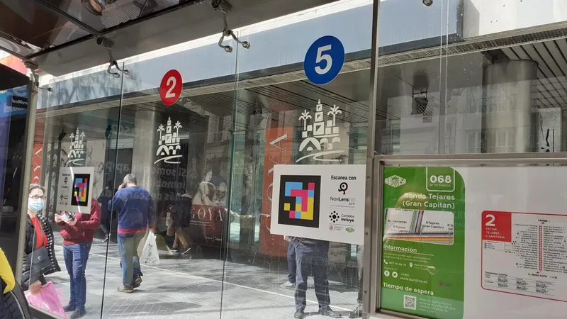
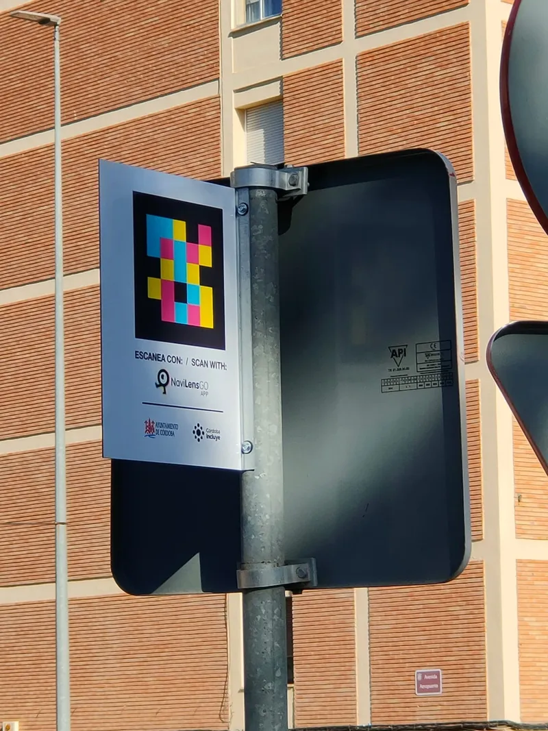
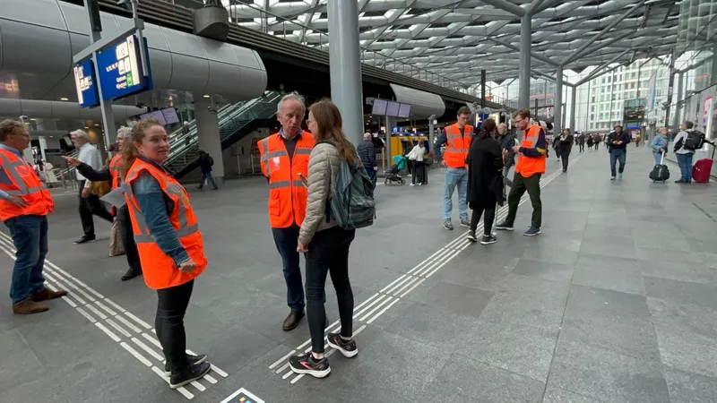
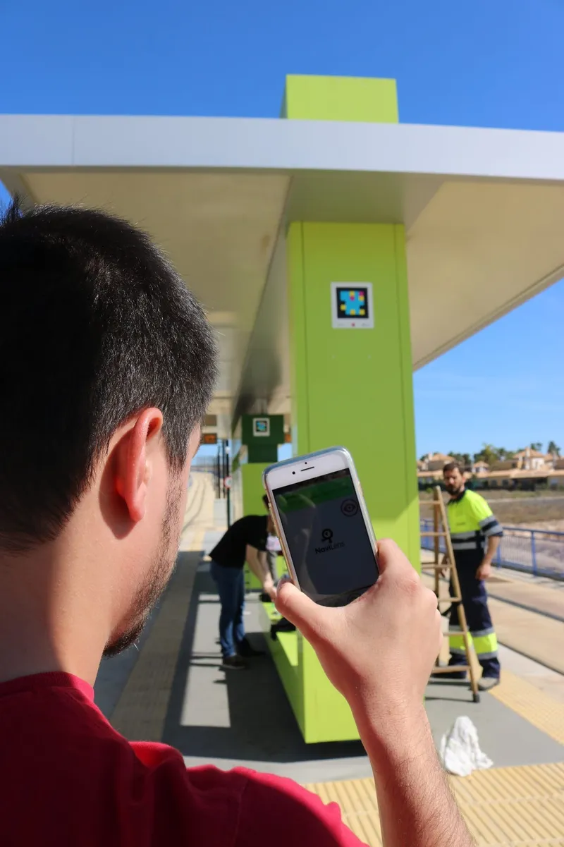
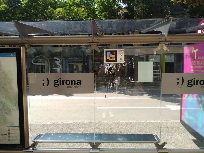
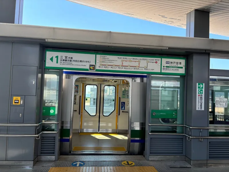
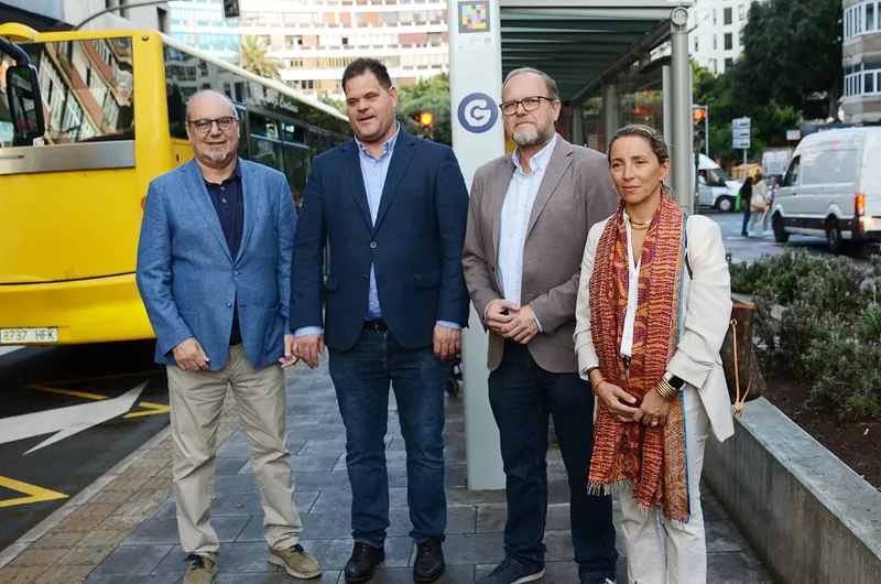
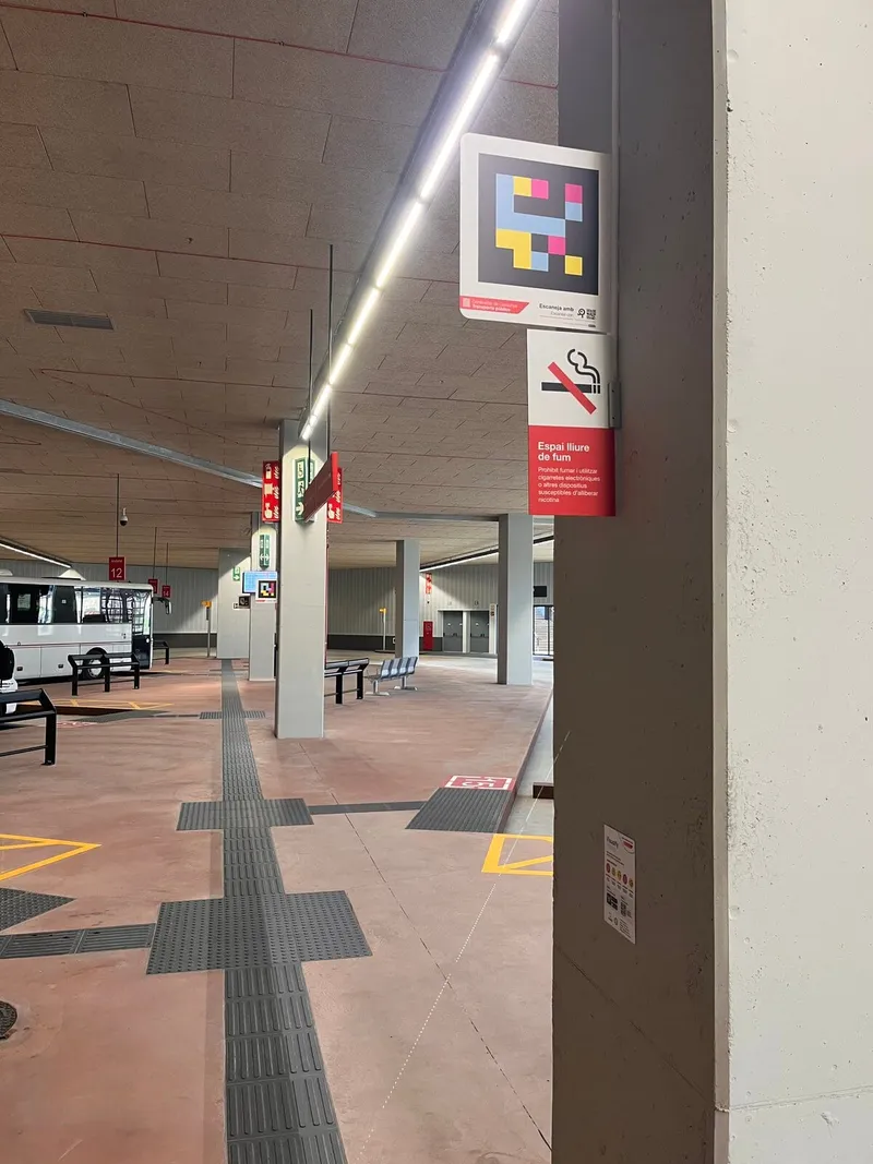
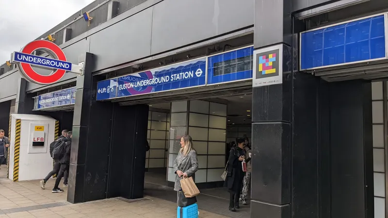
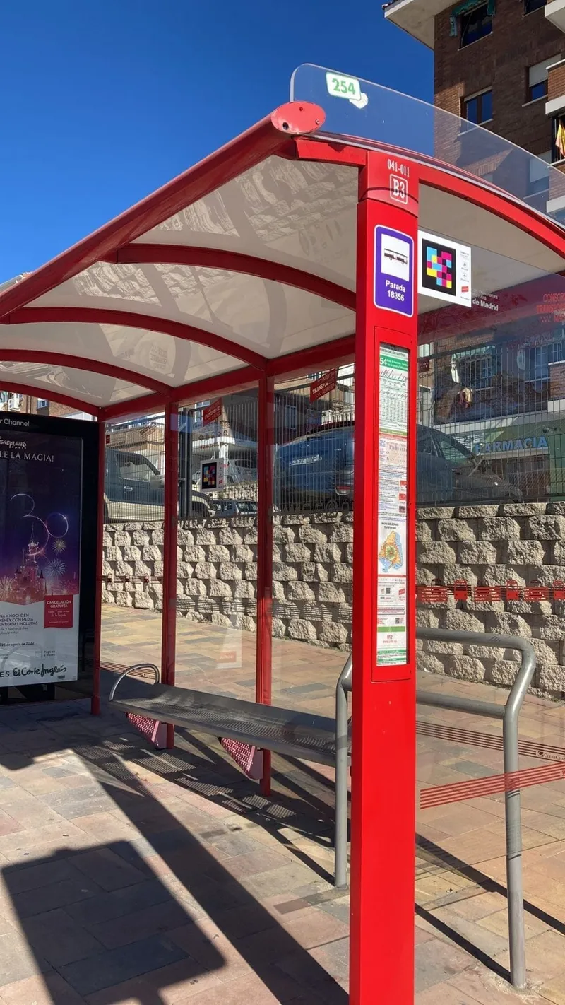
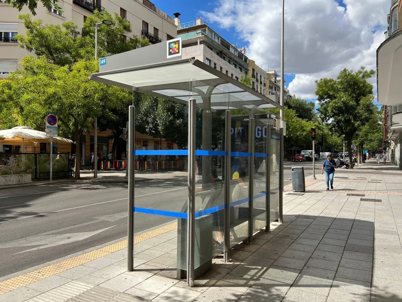
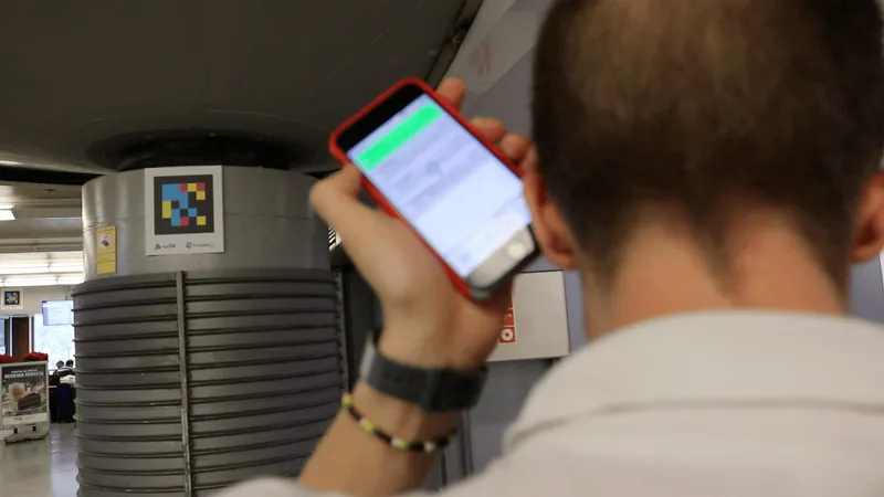
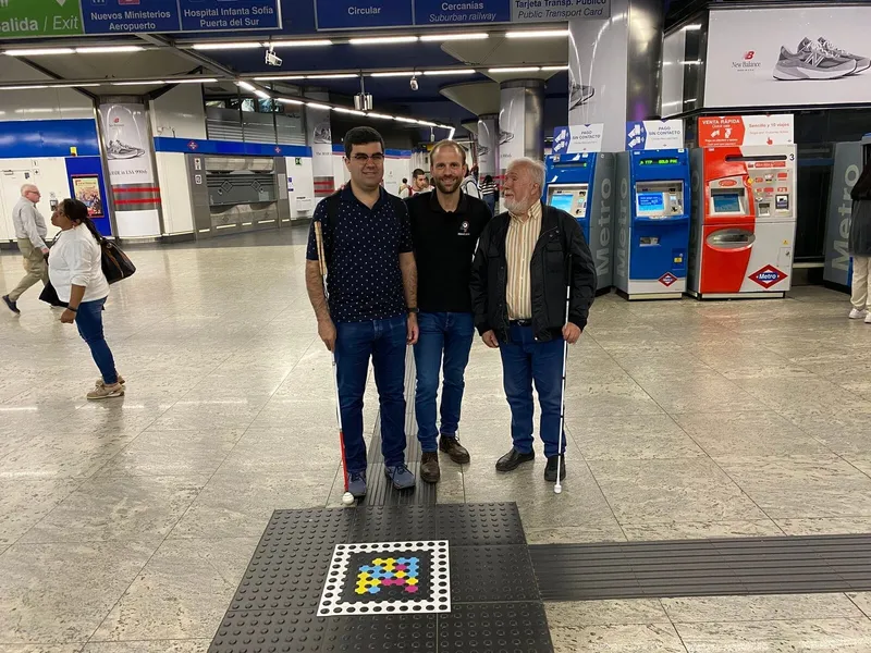
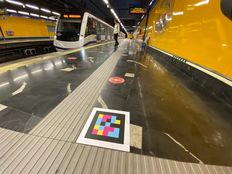
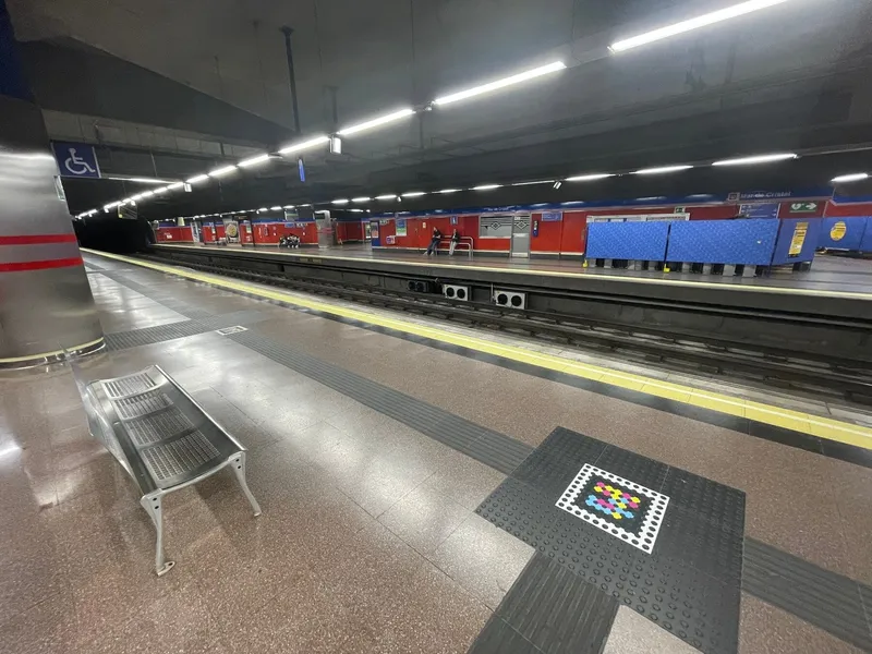
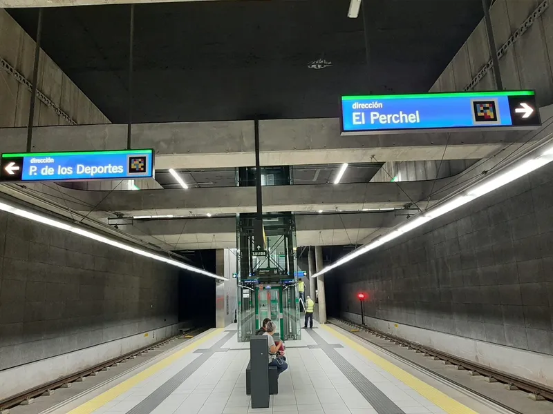
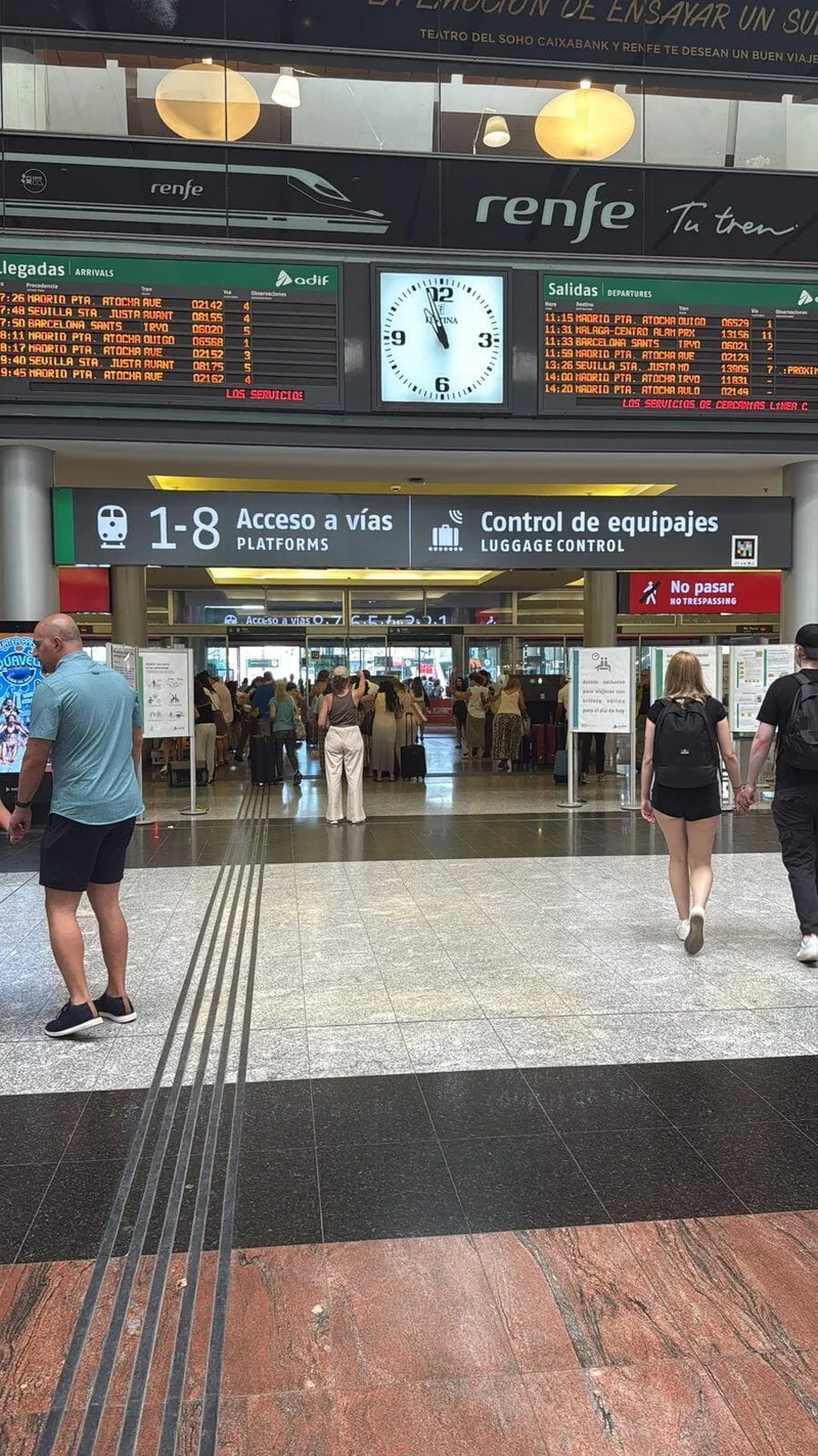
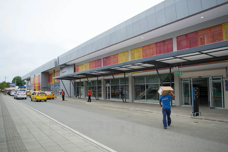
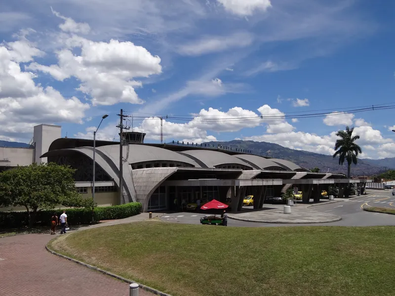
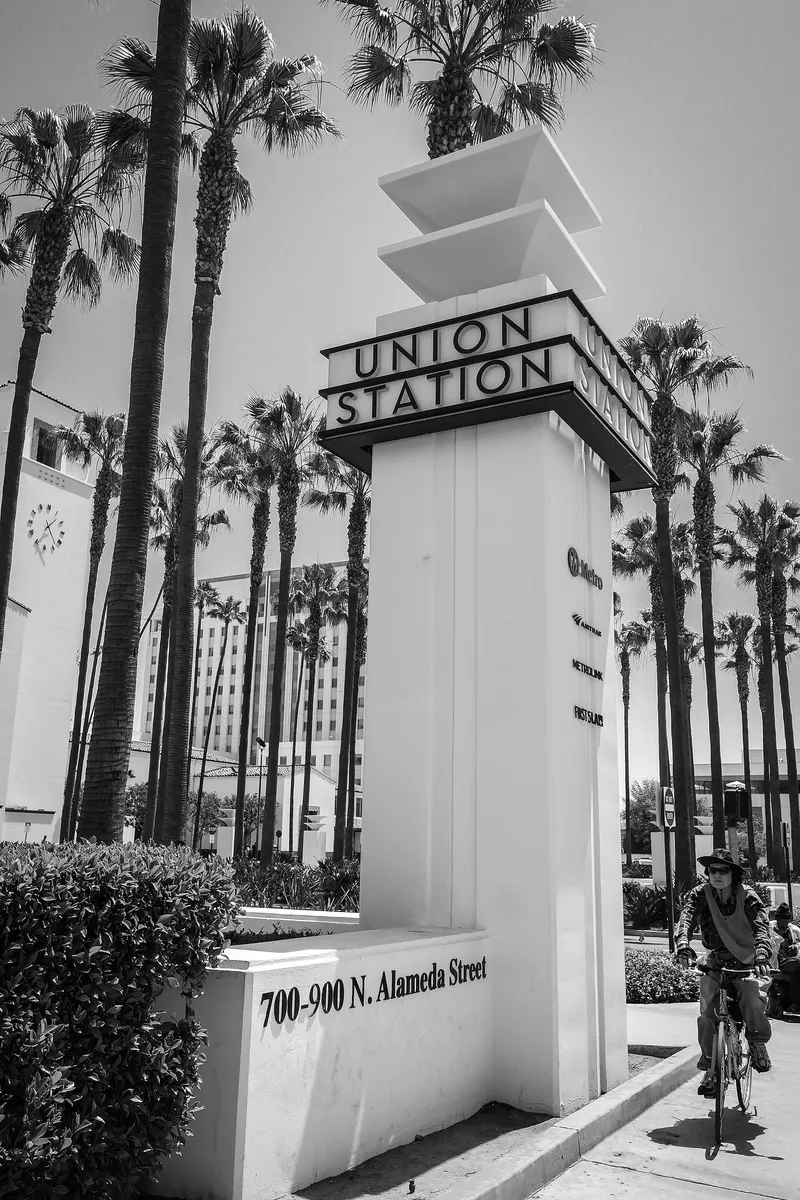
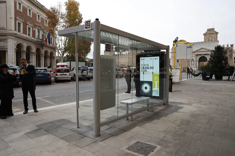
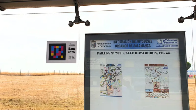
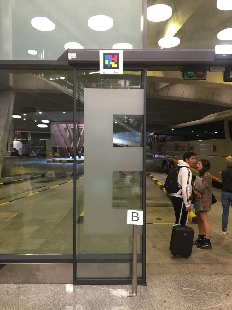
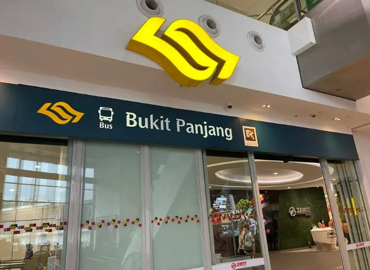
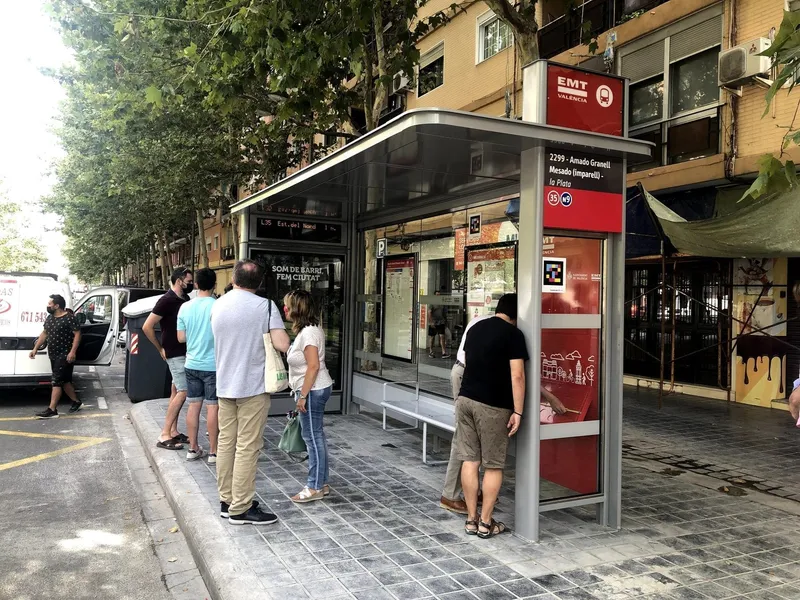
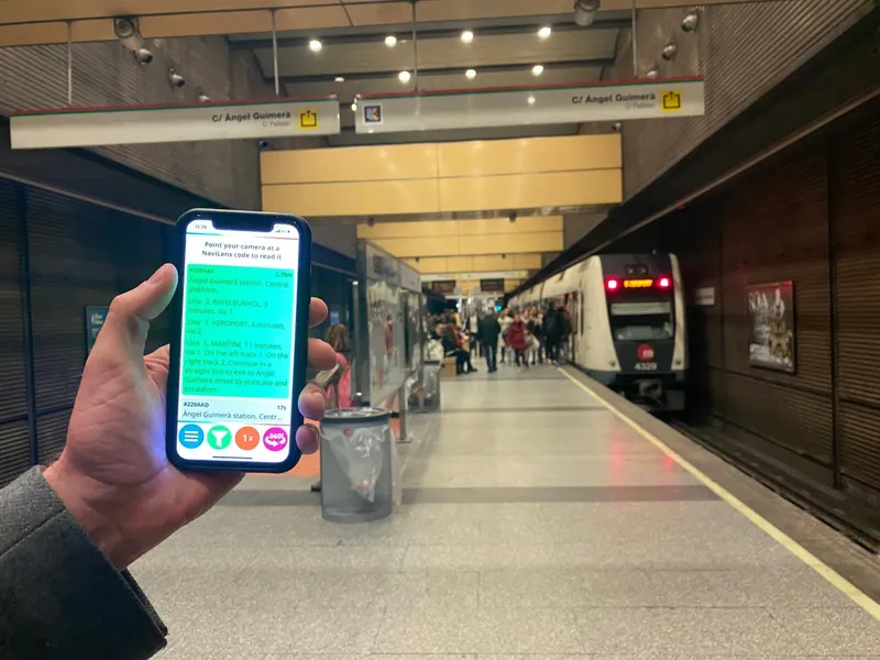
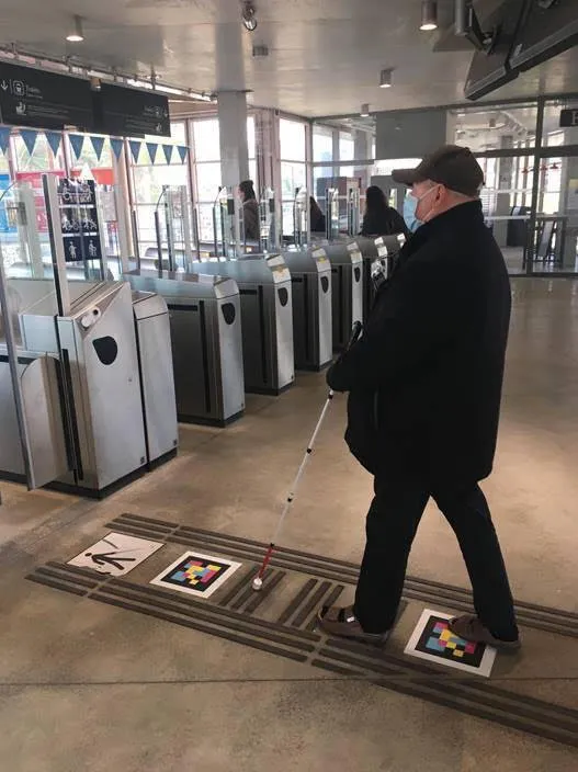
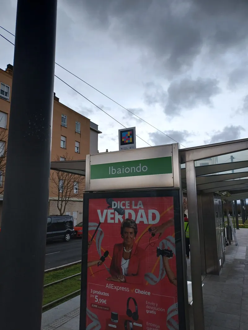
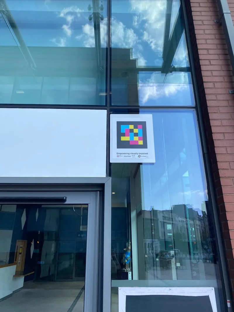
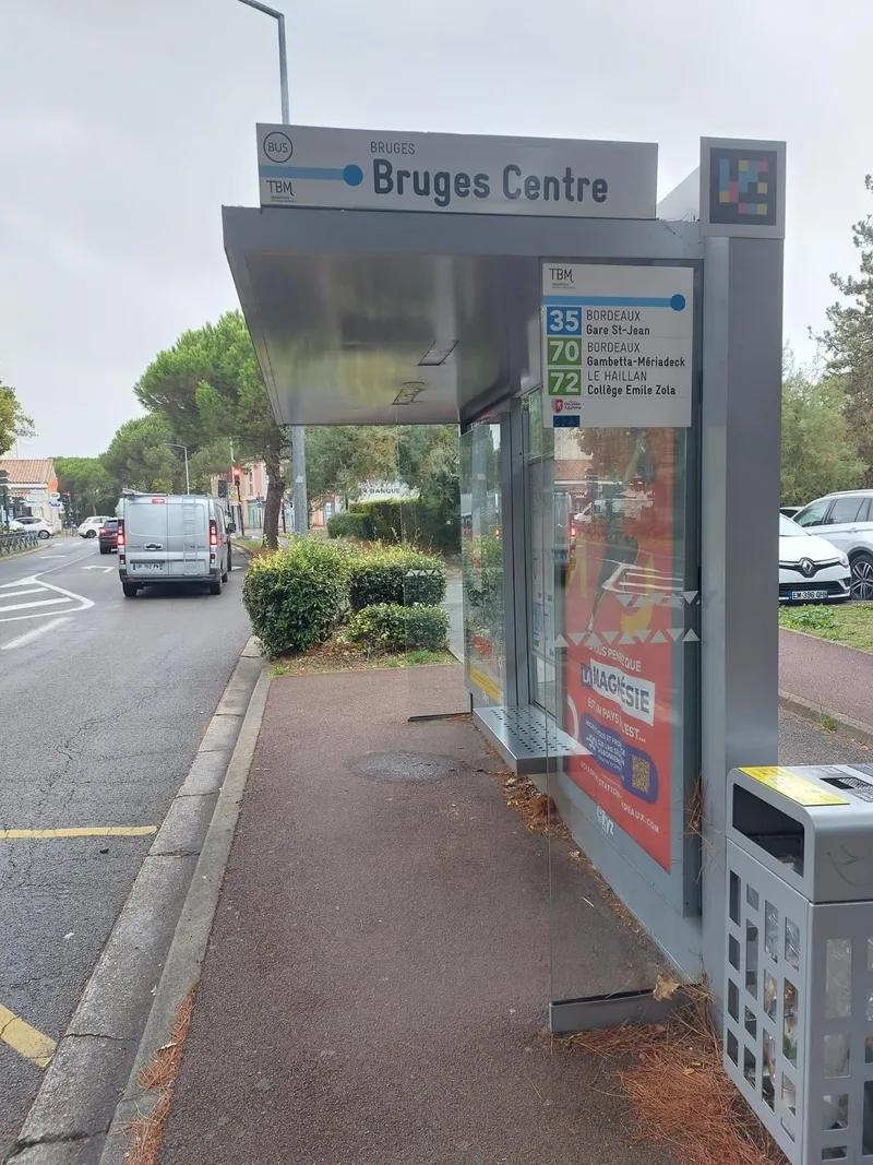
Urban and intercity bus
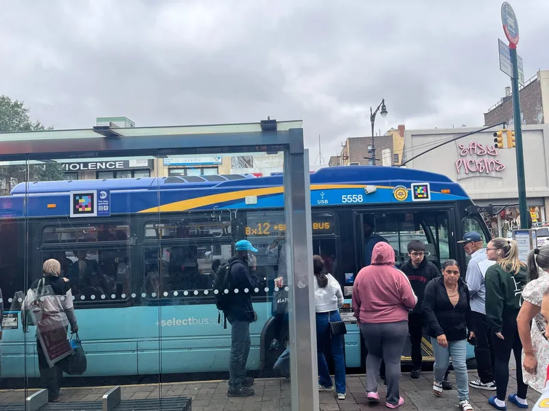
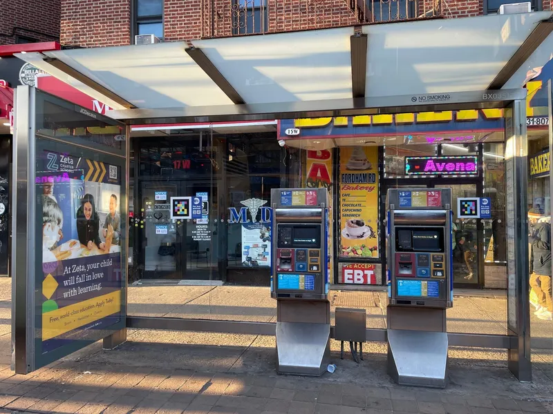
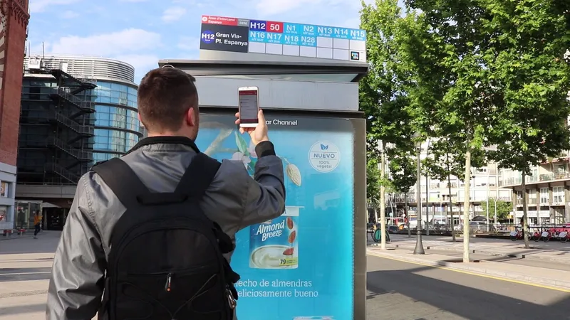
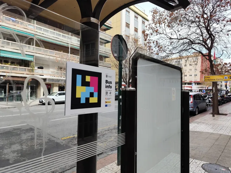
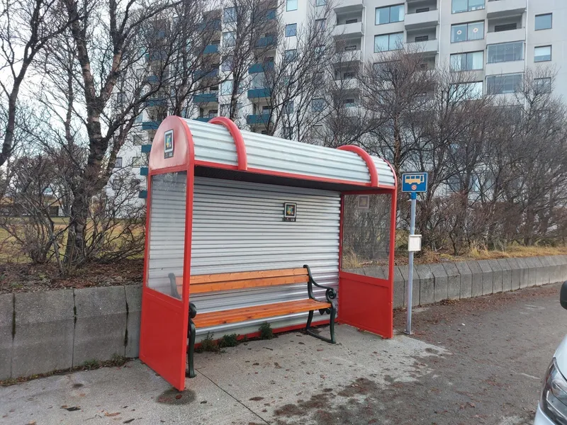
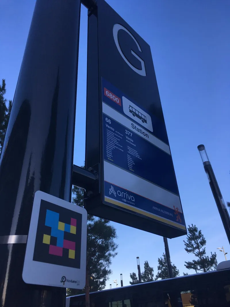
Run a bus network? We make your stops and shelters accessible in 5–6 weeks.
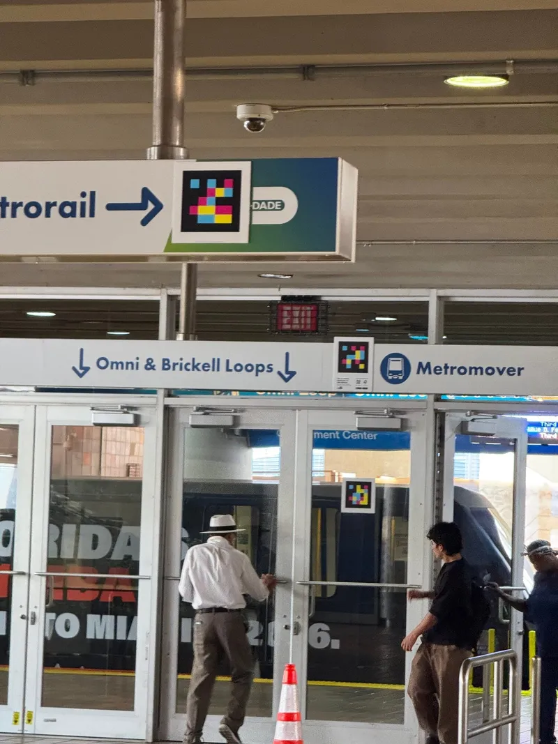
Real story · Miami-Dade DTPW
Government Center Station, read out loud.
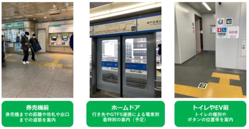
A walkthrough of Florida's first NaviLens-equipped station. Codes at the Metrorail entrance, on columns and on commemorative plaques are read from a distance and without aiming — announcing stairs, escalators, entrances and restrooms as the rider approaches them.
§ Regulatory fit
Accessibility regulations in public transit
NaviLens helps improve the accessibility of passenger information and supports the operator in aligning its digital channels and services with applicable accessibility requirements.
- ADA Title II
Americans with Disabilities Act
Transit agencies are Title II public entities: 49 CFR Parts 27, 37 and 38 require accessible stop and route identification and effective communication of service information. NaviLens delivers that by voice at the stop, the platform and inside the vehicle.
- DOJ web rule
Title II web and mobile rule
The DOJ's 2024 rule (28 CFR Part 35, Subpart H) sets WCAG 2.1 AA for public entities' web content and mobile apps. The deadline is April 24, 2026 for entities serving 50,000 or more people, and April 26, 2027 for smaller ones and for special district governments—which is how many transit authorities are constituted, so check which date applies to you.
- Section 508
Federally funded procurement
Procurements using FTA or other federal funds are reviewed against Section 508, and agencies routinely request an accessibility conformance report from each vendor. We provide ours on request, along with the documentation your grant reporting needs.
§ Integration
Integration with CAD/AVL and passenger information
We plug into your current systems — no vendor swap, no rewriting your rider-information layer.
- CAD / AVL
- Rider-information systems
- PA & display boards
- Agency mobile apps
- Ticketing platforms
- GTFS / GTFS-RT
§ Frequently asked questions
What operations teams usually ask us.
§ Let's talk
Work in mobility and want to learn more?
Tell us about your network. We'll design the pilot, the rollout and the impact metrics with you.