Case study · Port Liner × Bandō Kagaku Kan
From the platform to the museum,
in a single day.
One-day event on Port Island: Kobe New Transit (KNT, operator of the Port Liner) and the Bandō Kobe Science Museum tag the entire pedestrian route between station and museum with NaviLens GO. Within the Be Smart KOBE framework, alongside NPO Eye Collaboration Kobe and NEXT VISION.
§ The event in pictures
Nine tags between the platform and the dome.
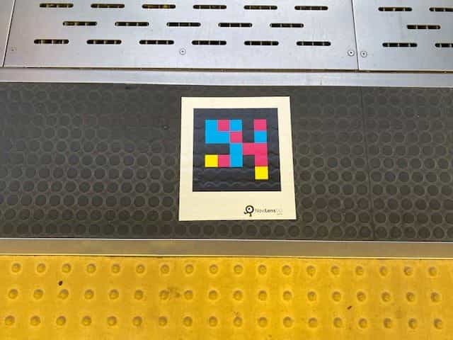
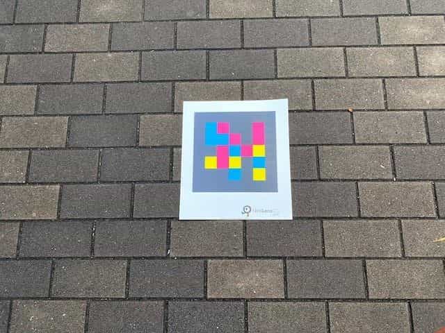
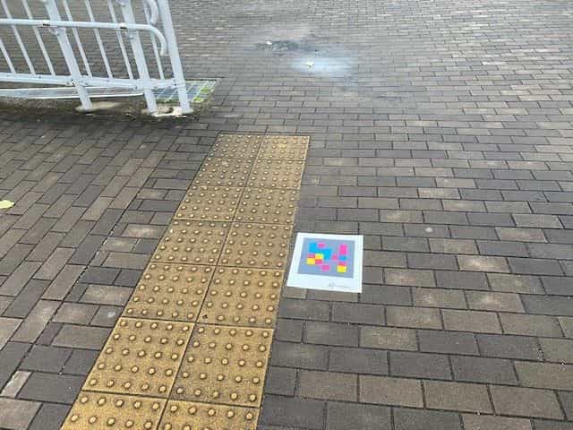
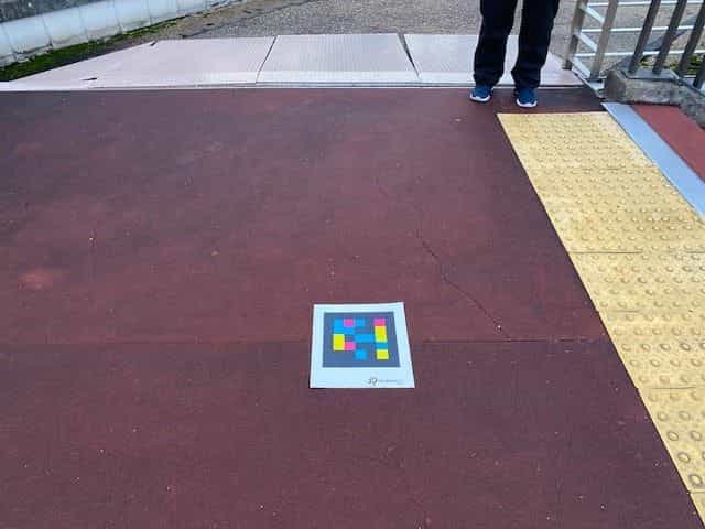
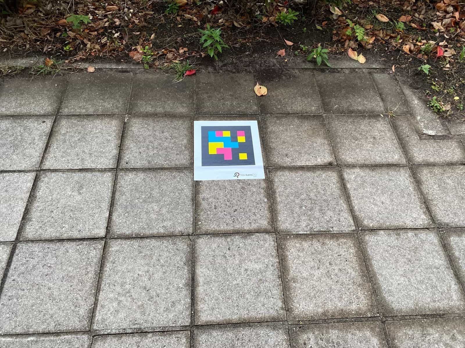
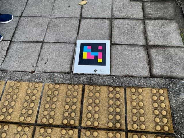
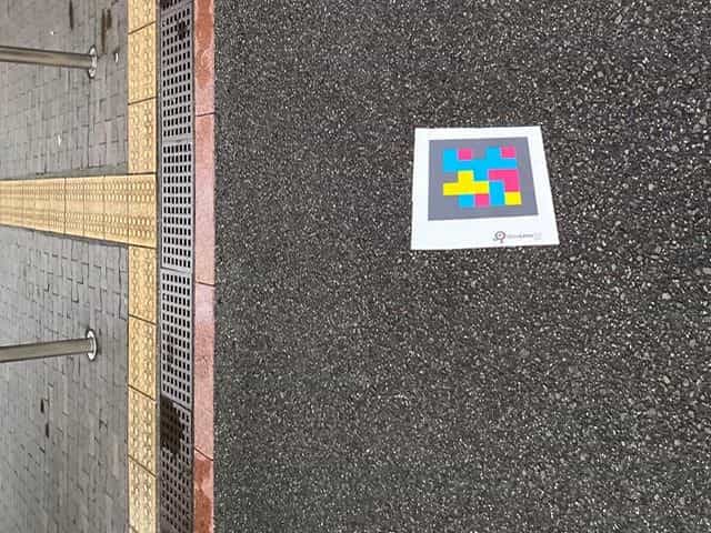
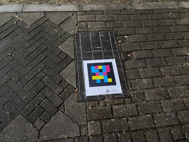
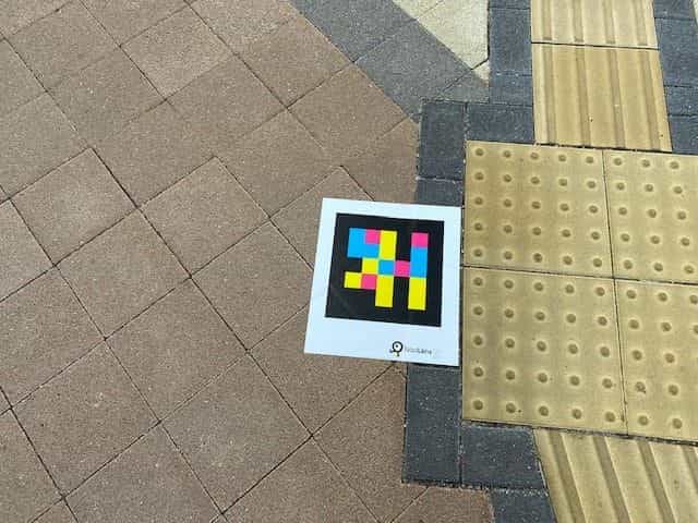
NaviLens GO codes were placed on cobblestone, brick, asphalt, continuous concrete and metal grates — always anchored to the existing yellow tactile paving.
1 day
One-off demonstration event with NaviLens GO
Port Liner → museum
Route tagged from station to museum (~3 min on foot)
9+ tags
Codes on paving, grates, ramp and forecourt
100 ft
Tag detection range, no focusing required
The client
Kobe New Transit (KNT) ·
Bandō Kobe Science Museum
Kobe New Transit (神戸新交通株式会社, KNT) operates the Port Liner— the elevated automated people-mover connecting Sannomiya with Port Island and Kobe Airport—as well as the Rokko Liner. It's the backbone of the city's biomedical cluster and of Port Island.
The Bandō Kobe Science Museum (バンドー神戸青少年科学館), a science museum for children and families, is a short walk from the Port Liner — Minamikōen station 南公園 (in front of IKEA). That very same route was tagged by the event with NaviLens GO, operationally framed by NPO Eye Collaboration Kobe and NEXT VISION (public-interest association).
§ The challenge
Take accessibility out of the station.
- 01
Take NaviLens outside the station
Be Smart KOBE had already tested NaviLens inside Sannomiya and the Kobe Eye Center. The one-day event challenge was to take it onto the street: from the Port Liner platform to the Bandō Kagaku Kan hall on Port Island, with no construction and nothing glued down permanently.
- 02
Work on any kind of surface
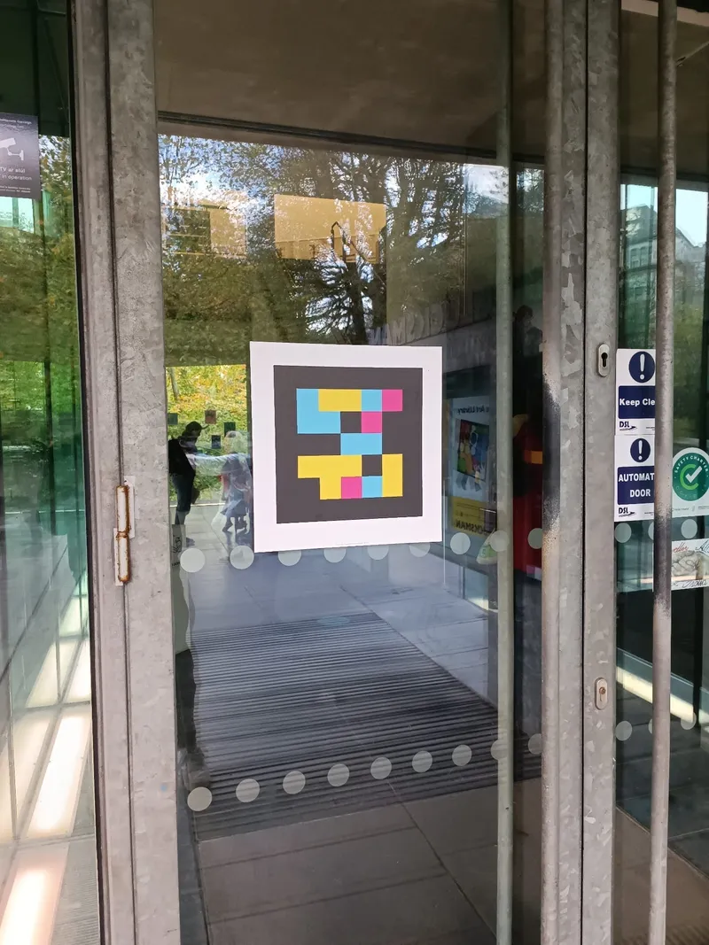
The cards with NaviLens GO tags were placed on cobblestone, asphalt, a continuous concrete forecourt and even metal grates. The trial showed that reading remains robust outdoors, while moving, and without focusing the code.
- 03
Anchor the route to existing tactile paving
Tags were positioned right next to the yellow tactile paving (guidance line and platform/turning warning) so that a cane user could first detect the change on the ground and then, while standing still, listen to the NaviLens cue.
§ The solution
A pop-up
route stuck to the tactile paving.
A4 cards with NaviLens GO codes, placed at the route's decision points: exit from the platform, tactile-paving crossings, the ramp with handrail, the forecourt and the museum entrance. No works, no permanent gluing, reusable for future events.
The NaviLens / NaviLens GO app reads tags up to 100 ft away, without focusing and in 42 languages — the very same app used by a Kobe Eye Center patient and by an overseas museum visitor.
§ Outdoor robustness
Even on a metal
grate.
The event also served as an operational test: NaviLens GO worked on herringbone paving, asphalt, a continuous red-concrete forecourt, gardens and on a drainage grate embedded into the sidewalk. No surface prevented the reading.
That robustness is exactly what makes it possible to deploy NaviLens at one-off events and temporary urban routes — not just inside stations.
§ Timeline
From Be Smart KOBE to the Museum × Liner ticket.
- 2020 →
Be Smart KOBE — base to extend NaviLens across Port Island
Kobe City's smart-city program already ran NaviLens at JR Sannomiya, Sannomiya subway, Port Liner Sannomiya and on the route between Port Liner Iryō Center station and the Kobe Eye Center, together with NPO Eye Collaboration Kobe and NEXT VISION.
- Event (1 day)
KNT (Port Liner) ↔ Bandō Kagaku Kan
Cards with NaviLens GO codes deployed along the pedestrian route from the Port Liner platform to the Bandō Kagaku Kan, marking decision points, access ramps and the museum entrance. Operated with the local pilot network.
- 2024 →
Joint Port Liner + museum product
The City of Kobe and Kobe New Transit launch the “Museum × Liner ticket” combining a Port Liner return trip with museum admission — the very travel axis that the NaviLens event proved accessible for blind and low-vision people.
§ What they said
What the City of Kobe, Kobe Journal and NEXT VISION said.
“ポートライナー「南公園(IKEA前)」駅下車徒歩3分。科学のおもしろさを体験しながら学べるテーマパーク型の科学館。”
“バンドー神戸青少年科学館の「展示室入館券」と、ポートライナー「乗車券」がセットになった『科学館・ライナーチケット』が発売されます。”
“視覚障害のあるかたには、Navilens(ナビレンズ)が便利です。最大16メートル離れた距離から、タグの内容を読み取ることができ、タグまでの距離も分かります。”
§ Results
A museum that's accessible from the platform.
Station → Museum
End-to-end accessible journey with NaviLens outdoors
Any surface
Cobblestone, asphalt, continuous forecourt and metal grates
Reusable
Reusable cards — pop-up accessibility with no construction
§ And your destination?
Your destination can also guide in 42 languages.
Tell us about your trails, visitor centers, landmarks or galleries. We’ll show you how NaviLens would make your offering accessible—with comparable cases.