Case study · MTA Bronx bus stops
The right stop,
before the bus even arrives.
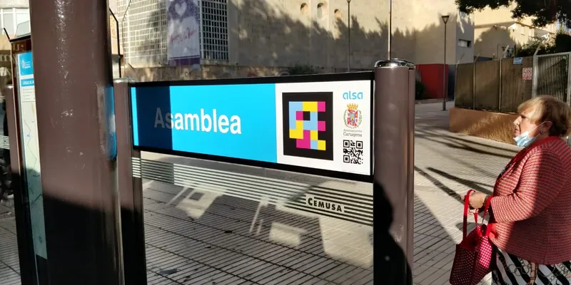
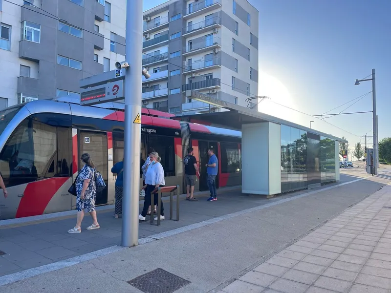
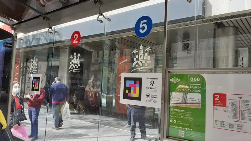
These Bronx photos document how the MTA is placing NaviLens codes at the most useful point of the stop: on a clear surface, visible from far away and right next to the official bus-arrival sign.
Bx12-SBS
Bronx line called out in the official rollout
$2M
SMART Grant to expand NaviLens across MTA
Pole + shelter
Dual placement visible in these photos
42
Languages supported by the app
The client
MTA Bus
Bronx bus stops
The Metropolitan Transportation Authority is rolling out NaviLens across New York's bus network as part of its accessibility strategy. In the Bronx, the deployment is visible at SBS stops where fast detection of the code is critical even before the vehicle arrives.
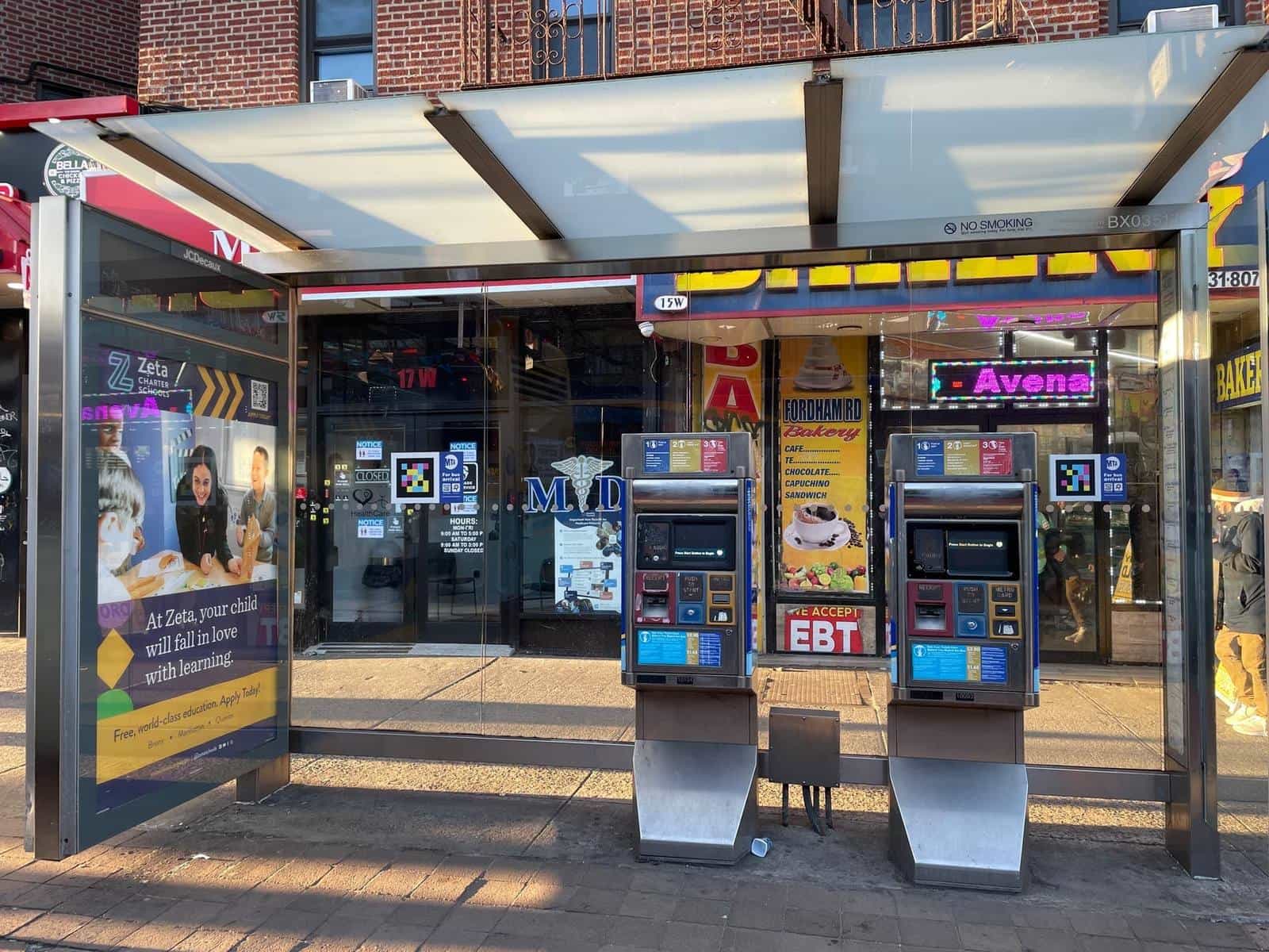
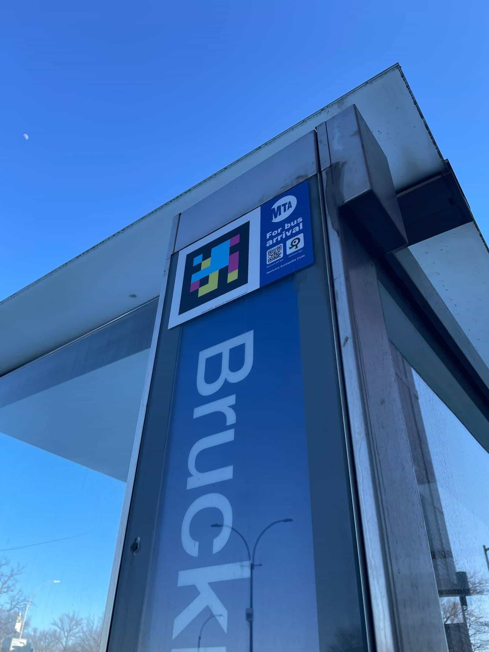
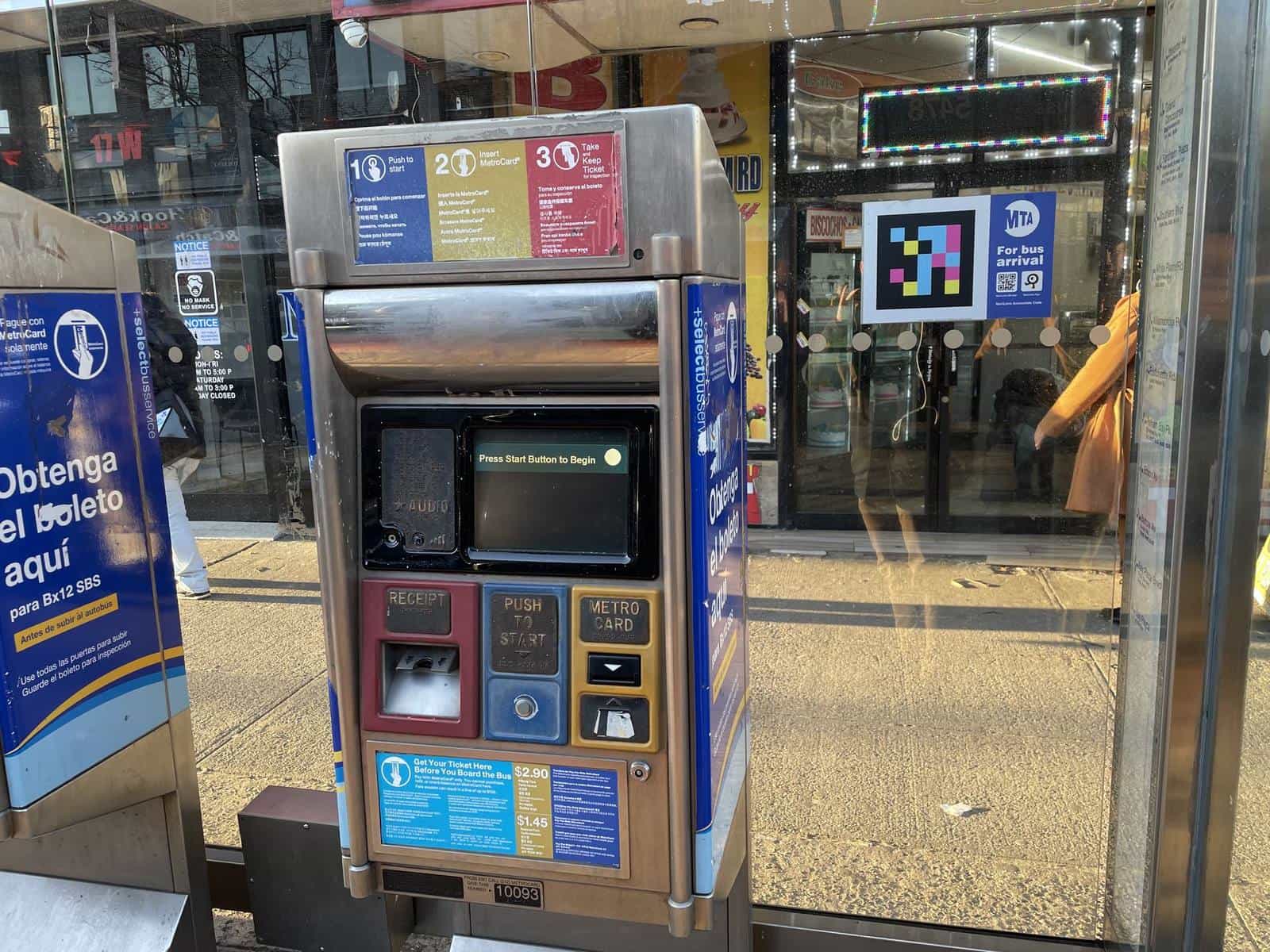
The images match two real Bronx scenarios: a stop on Bruckner Blvd with the official “For bus arrival” plate, and another on Fordham Road with SBS machines, a full shelter and several visible codes.
§ The challenge
So the shelter is more than a piece of furniture — a reference you can hear.
- 01
Long, dense, visually noisy stops
On Bronx corridors like Fordham Road or Bruckner Blvd, a stop can sit next to a shelter, advertising, ticketing machines, storefronts and several pedestrian flows. Without an audible cue, finding the exact spot is hard.
- 02
The code must be seen from far away, up high or at eye level
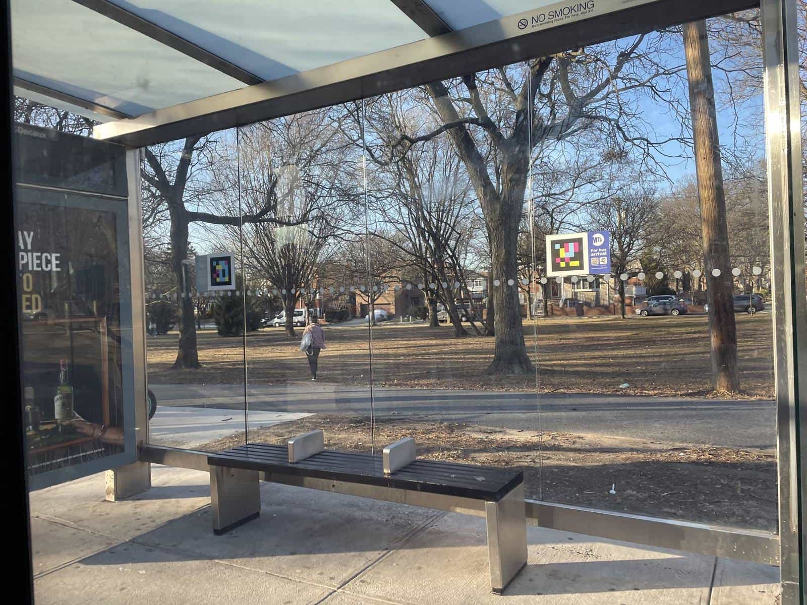
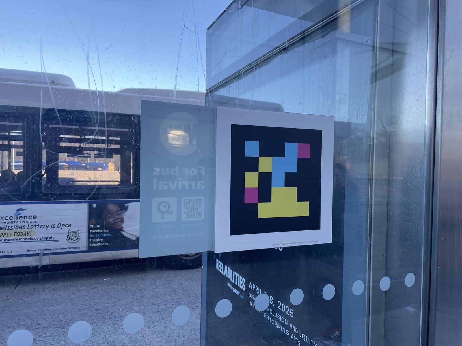
These photos show the two heights MTA uses: the top edge of the shelter and the pole, to catch it from a distance, and the face of the glass next to the official panel or the prepay machine, within reach of someone already at the stop. Either way the surface is clear, and that is what keeps benches, glass and advertising from blocking detection.
- 03
Each stop needs its own identity
Knowing there's a bus isn't enough: the rider needs to confirm they're at the right stop and get arrival info. The system combines the colorimetric code with the official “For bus arrival” panel and the voice-readout app.
§ The solution
The code, always above the noise.
At these Bronx stops, NaviLens always sits on a clear surface: on the metal vertex of the shelter, on the pole next to the official info panel, or on the face of the glass, at the eye level of whoever is waiting. The logic is simple — let the camera catch it before any other piece of street clutter.
The result is a stop that no longer depends on reading a small number or interpreting the street: the app finds the code, identifies it, and turns the stop into an immediate audio reference.
§ Deployment
Several ways to anchor the code on the same stop typology.
§ Timeline
From the initial pilot to a Bronx with stops already labeled.
- Oct 2020
First pilot at Manhattan stops
MTA Bus Company presents NaviLens as a Transit Tech Lab 2020 finalist to help blind and low-vision riders locate stops and check arrival times from their phone.
- Dec 2023
Accessibility 2023: system-wide expansion
The MTA announces accessibility progress and prepares the expansion of innovative tools on buses and stations for 2024, cementing NaviLens as a stable component of accessible wayfinding.
- 2024
SMART Grant: Bronx included in the rollout
MTA's official site places the Bronx within the active NaviLens rollout and specifies the expansion to all Bx12-SBS bus stops and buses, alongside M23-SBS and M66.
- Today
Bronx stops with different anchoring solutions
The images document several real installation forms: an official plate next to the “For bus arrival” message, a code printed at the top edge of the shelter, and signage next to SBS machines on Fordham Road.
§ What they said
What the MTA said about NaviLens on buses and stops.
“Through the SMART Grant, NaviLens is rolling out at all 6 subway stations, on all 6 line subway cars, and on all M23-SBS, M66 and Bx12-SBS bus stops and buses.”
“NaviLens App – Transit Tech Lab 2020 Finalist – Navigates Users to Bus Stops and Tracks Bus Arrivals. Pilot Taking Place at Bus Stops Along 23rd Street in Manhattan.”
“The Metropolitan Transportation Authority (MTA) today announced significant progress in making the transit system accessible to all customers, including the expansion of NaviLens and other innovative tools across buses and stations.”
§ Results
A stop that is easier to find, to confirm and to understand — before even boarding.
Up high
Codes sit above advertising and street furniture
Official sign
Integrated with MTA Bus's graphic identity
Remote read
Detection without aiming, from several yards
§ MTA · New York
This page is part of the MTA rollout in New York City.
The full story, from Jay St-MetroTech to the rest of the network, lives in the parent case. The other pages in the family:
- MTA · 14 St-Union Square — 4 5 6 N Q R W L with NaviLens
- MTA Subway — stations and cars with NaviLens
- MTA NYCT — subway, bus and street under one NaviLens code
- MTA Bus — Bx12-SBS, M23-SBS and M66 with NaviLens
- Metro-North · White Plains — NaviLens pilot
§ And your network?
Your next station can also speak.
Tell us about your network, your pain points and the KPIs you want to move. We’ll show you how NaviLens would fit—with comparable cases.